
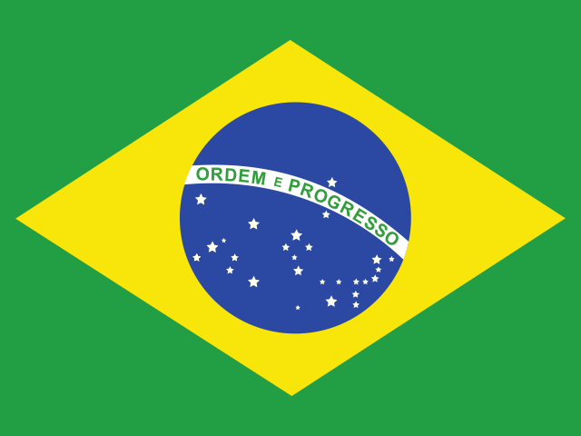
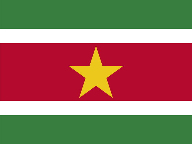


Anchored on the craggy Precambrian bedrock of the Guiana Shield—one of the oldest geological formations on planet Earth—Guyana occupies two hundred and fifteen thousand square kilometers on the northern Atlantic shoulder of South America. Flanked by Venezuela to the west, Brazil to the south and southwest, and Suriname across the Corentyne River to the east, this territory is fundamentally defined by water. Its indigenous Arawak (Lokono) name, Guiana, translates literally as the “Land of Many Waters”—a recognition of the immense, silt-laden rivers that carve their way through thousand-meter sandstone escarpments and unbroken equatorial canopies before spilling into the Atlantic Ocean.
More than eighty-five percent of Guyana remains carpeted in primary tropical rainforest, an intact wilderness that forms a crucial green lung of the Guiana Shield eco-region. Yet despite its continental South American geography, Guyana functions politically, culturally, and linguistically as part of the Anglophone Caribbean. As the only English-speaking nation on the South American mainland and the diplomatic headquarters of the Caribbean Community (CARICOM), Guyana is a hybrid society where South American ecology converges with Caribbean rhythms, British colonial legal institutions, and a cultural matrix forged through forced African enslavement and Indian indentured labor.

The Thundering Abyss: Kaieteur and the Ancient Shield
In the interior highlands of the Pakaraima Mountains, where flat-topped sandstone table mountains known as tepuis pierce the cloud line, the Potaro River plunges into Kaieteur Gorge. Dropping 226 meters in a single, uninterrupted vertical curtain of amber-tinted river water—followed by a series of steep cascades bringing the total descent to 251 meters—Kaieteur Falls is roughly four times higher than Niagara Falls and twice the height of Victoria Falls. What distinguishes Kaieteur among the world’s great waterfalls is its combination of sheer height and colossal volume: during the rainy season, over six hundred and sixty cubic meters of water roar over the sandstone lip every second, atomizing into perpetual rainbows and thunderous clouds of mist.
According to Patamona Amerindian tradition, the falls take their name from Chief Kai, a venerable elder of the tribe who saved his people from warlike Carib raiders by paddling his wooden canoe over the precipice in a sacrificial offering to Makonaima, the Great Spirit. Today, the surrounding Kaieteur National Park preserves an extraordinarily isolated microclimate. Giant bromeliad plants (Brocchinia micrantha), growing up to three meters in height, thrive on the misty sandstone plateau; their water-filled leaf tanks host the rare golden rocket frog (Anomaloglossus beebei), which spends its entire life cycle within the miniature pools of a single plant without ever descending to the forest floor.
The geological foundation beneath Kaieteur is the Guiana Shield, a craton of metamorphic and igneous rock dating back nearly two billion years to the Paleoproterozoic era. The shield’s ancient soils, heavily leached by millennia of equatorial rainfall, are naturally nutrient-poor. In response, interior flora evolved highly specialized nutrient-recycling mechanisms. Dense stands of greenheart (Chlorocardium rodiei), a hardwood renowned for marine resistance due to natural chemical alkaloids, tower over the forest floor, their roots interlinked by fungal mycorrhizal networks that instantly capture decaying organic matter before monsoonal deluges can wash it away.
Dikes, Sluices, and the Atlantic Shore: Life Below Sea Level
In stark contrast to the mountainous interior, Guyana’s human population is concentrated along a narrow coastal strip representing less than ten percent of total land area. Approximately ninety percent of the country’s eight hundred thousand residents live along this coastal alluvium, which lies between one and two meters below high-tide sea level. Life here is made possible only through an intricate hydraulic defense system originally engineered by Dutch colonial settlers in the seventeenth and eighteenth centuries.

A massive masonry and concrete sea wall stretches for four hundred and fifty kilometers along the coast, holding back the brown Atlantic surf. Behind the sea wall lies an elaborate network of canals, polders, and wooden gravity sluice gates known as kokers. When the Atlantic tide ebbs twice daily, the massive wooden koker doors are lifted, allowing accumulated rainwater and agricultural runoff to drain naturally out to sea. When the tide rises, the doors are slammed shut against the ocean. On these fertile, reclaimed marine clays, generations of laborers cultivated sugarcane and rice, giving rise to historic plantation regions along the Demerara, Berbice, and Essequibo rivers.
Georgetown, the national capital situated at the mouth of the Demerara River, reflects this maritime architectural history. Known historically as the “Garden City of the Caribbean,” Georgetown is celebrated for its graceful nineteenth-century wooden architecture, designed with wide jalousie louvers, high ceilings, and wraparound verandas that capture cooling Atlantic trade winds. Its supreme landmark is St. George’s Cathedral, consecrated in 1892. Built entirely of native greenheart timber, the Gothic cathedral rises forty-four meters into the tropical sky, celebrated as one of the tallest freestanding timber structures in the world. Nearby, the iron-framed Stabroek Market, with its prominent four-faced clock tower fabricated in the United States in 1881, anchors the trade of river ferries and market vendors.
The Essequibo Basin: River Highways and Rupununi Savannas
The physical backbone of Guyana is the Essequibo River. Flowing northward for over one thousand kilometers from its headwaters in the Acarai Mountains along the border with Brazil, the Essequibo is the third-largest river in South America by water discharge, surpassed only by the Amazon and Orinoco. At its mouth, where it meets the Atlantic Ocean, the river expands to an estuary twenty kilometers wide, studded with large populated islands like Leguan and Wakenaam that produce green plantains, coconuts, and rice.

At the confluence of the Essequibo, Mazaruni, and Cuyuni rivers sits Bartica, historically considered the gateway to the interior “bush.” From Bartica, motorized river canoes and prospectors have ventured upriver for over a century in search of alluvial gold and raw diamonds. These independent itinerant miners, known in Guyanese folklore as porkknockers—named for the salt pork rations they carried in barrels—developed a colorful oral tradition, distinctive river slang, and tall tales of finding sudden fortune in remote jungle creeks.
The vast western territory drained by the river, comprising roughly two-thirds of Guyana’s total land area, is known as the Guayana Esequiba—a region that has been subject to a long-standing territorial claim by neighboring Venezuela dating back to nineteenth-century border arbitrations, currently under review before the International Court of Justice.
Further south, the rainforest yields to the Rupununi Savannah, a sprawling savanna plain covering thirteen thousand square kilometers between the Kanuku and Pakaraima mountain ranges. The Rupununi experiences extreme seasonal hydrological shifts: during the dry season, the grasslands become golden savannas grazed by cattle tended by Vaquero cowboys; during the wet season, the Rupununi River overflows its banks, merging into a vast freshwater wetland that connects the Amazon and Essequibo drainage basins, enabling giant South American river turtles, black caimans, and arapaima (the world’s largest scaled freshwater fish) to navigate between continental river systems.
Amerindian Custodianship and Cultural Diversity
Long before European ships sighted the Guiana coast, nine distinct Amerindian nations inhabited these river basins and savannahs: the Wai Wai, Macushi, Patamona, Wapishana, Akawaio, Arecuna, Carib (Kari’nja), Arawak (Lokono), and Warrau. Today representing approximately ten percent of the national population, Amerindian communities exercise legal collective ownership over significant ancestral territories through Amerindian Village Councils, recognized under the landmark Amerindian Act of 2006.
In the central rainforests, the Iwokrama International Centre for Rain Forest Conservation manages a reserve of nearly four thousand square kilometers in partnership with local Macushi communities. Rather than treating the forest as an untouchable museum, Iwokrama pioneers sustainable forestry, selective low-impact timber harvesting, and community-led eco-tourism, demonstrating that conservation and indigenous livelihoods can reinforce one another. Amerindian guides track jaguars, harpy eagles, and giant river otters with forensic environmental knowledge honed over generations.
On the coast, Guyana’s demographic profile reflects the intense historical migrations of colonial plantation agriculture. Following the abolition of slavery in 1834, British planters imported over two hundred and thirty thousand indentured workers from India between 1838 and 1917, alongside smaller groups of Portuguese from Madeira and Chinese contract laborers. Today, Indo-Guyanese (descendants of Indian indentured laborers) and Afro-Guyanese (descendants of enslaved Africans) form the two largest demographic groups. While national political life has frequently mirrored racial tensions between these two communities, daily life is characterized by deep cultural sharing. Guyanese of all backgrounds celebrate Hindu Diwali, Muslim Eid, and Christian Christmas with equal community enthusiasm.
Demerara Distillation, Cricket, and National Passion
No account of Guyanese material heritage can omit Demerara rum and the national religion of cricket. Along the banks of the Demerara River, Diamond Distillery preserves the last surviving wooden distillation equipment in the global spirits industry. While modern distilleries worldwide shifted entirely to stainless steel and copper columns, Guyana’s distillers continue to operate two-hundred-year-old stills constructed from native greenheart wood, notably the Port Mourant double wooden pot still and the Enmore wooden Coffey still. The dense greenheart timber interacts singularly with hot alcohol vapors during distillation, imparting a rich, heavy, and oily depth to aged Demerara rums that have anchored the British Royal Navy’s historic daily rum rations for centuries.
If rum fuels social fellowship, cricket provides the emotional spine of the nation. Across coastal villages, every vacant pasture and cleared sugarcane field hosts makeshift cricket matches played with taped tennis balls and driftwood bats. Guyana has contributed legendary batting masters and fierce fast bowlers to the West Indies cricket team, from Rohan Kanhai and Clive Lloyd—who captained the West Indies to historic World Cup victories in 1975 and 1979—to modern icons like Shivnarine Chanderpaul. During international test matches at the Georgetown Cricket Club ground at Bourda or the Providence Stadium, social distinctions dissolve entirely: Afro-Guyanese and Indo-Guyanese spectators pack the stands side by side, sharing carboys of rum, hot rotis, and rhythmic calypso chants in a display of unified national passion.
Flavors of the Hearth: Cassareep, Pepperpot, and Cook-up
Guyanese cuisine is an extraordinary, fragrant synthesis of Amerindian, Indian, African, Chinese, and European traditions, united by fiery scotch bonnet peppers (known locally as wiri wiri peppers) and fresh coconut milk. The undisputed national dish, served at Christmas and major celebrations across the country, is pepperpot. Inherited directly from indigenous Amerindian culinary knowledge, pepperpot is a rich, dark meat stew simmered with beef, pork, or mutton, seasoned with cinnamon, cloves, garlic, and hot wiri wiri chilies.
The magical, indispensable ingredient of pepperpot is cassareep—a thick, black syrup extracted from the boiled and reduced juice of bitter cassava roots. Cassareep acts as a natural antiseptic and preservative; traditionally, a pot of pepperpot could sit on the hearth for weeks without refrigeration, replenished daily with fresh cuts of meat and brought to a boil each morning. Pepperpot is traditionally eaten with dense, crusty slices of homemade Guyanese plait bread, which absorb the glossy, bittersweet gravy.
The everyday soul food of Guyana is cook-up rice, a comforting one-pot dish of West African origin. Rice, pigeon peas or black-eyed peas, coconut milk, and various meats (salted beef, smoked pigtail, or chicken) are simmered together until the rice absorbs the rich, savory coconut cream. At Indian street stalls and festive weddings, seven curry is served on broad, glossy water lily leaves, featuring seven distinct vegetarian curries—including pumpkin, mango, katahar (breadnut), and dhal—eaten by hand with hot, flaky dhal puri roti.
The Black Gold Horizon: Transformation and Preservation
Guyana entered the third decade of the twenty-first century at the center of one of the most dramatic economic transformations in modern global history. Beginning in 2015, major deep-water petroleum discoveries in the offshore Stabroek Block, located two hundred kilometers into the Atlantic Ocean, revealed recoverable reserves exceeding eleven billion barrels of crude oil. As offshore production vessels began extracting hundreds of thousands of barrels per day, Guyana recorded the fastest-growing gross domestic product in the world, generating billions of dollars in sovereign wealth revenues for a nation of fewer than one million citizens.
This unprecedented oil wealth has catalyzed massive public investments in coastal infrastructure, deep-water port facilities, highways connecting Georgetown to the Brazilian border at Lethem, and modernized hospitals and schools. However, this sudden mineral transformation has also prompted deep civic debates concerning the “resource curse,” economic equity, and environmental responsibility. Guyana has long been an international champion of forest preservation through its Low Carbon Development Strategy (LCDS), earning hundreds of millions of dollars in carbon credit sales by maintaining an exceptionally low deforestation rate of less than 0.05 percent.
Balancing the colossal revenues of offshore petroleum against its moral commitment to Amazonian forest stewardship and climate leadership remains the supreme challenge of contemporary Guyanese statecraft. Grounded in the ancient sandstone roots of the Guiana Shield and fortified by centuries of coastal resilience, Guyana moves forward with confidence, determined that its wealth of waters, forests, and diverse peoples will guide its sovereign destiny.








Share what you know
Been there, grew up there, or know something we missed? Add a comment; corrections with a source are especially welcome.