

FOR THE WILDLY CURIOUSThe world is
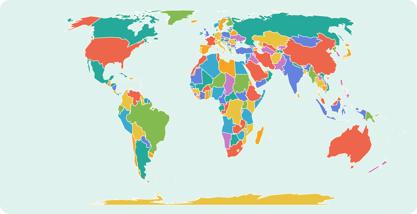 The world, at your fingertips.Explore the map Map: Natural Earth · simplified preview
The world is
full of stories.
Find yours.
Take the scenic route through places, people and cultures. There’s a whole world beyond the familiar.
Surprise meJump to a random story, country, region or seaThe world, at your fingertips.Explore the map Map: Natural Earth · simplified previewDifferent places. Shared humanity.
Always something to discover.
Always something to discover.

DISPATCHES FROM THE ATLAS
14 deep cultural stories across 7 continents

The Guardians of Timbuktu’s Desert Manuscripts

Water Beneath the Sand: The Thousand-Year Foggaras of the Sahara

Rajasthan’s Forts: Water, Walls and Living Cities

The Living Root Bridges of Meghalaya

Labyrinths of Stone: Madagascar’s Tsingy de Bemaraha

A Journey Through Rajasthan

Carved from the Living Rock: The Sunken Churches of Lalibela

The Way of Tea: Harvests, Hearth, and Silence in Uji

Voices Carved in Stone: The Decipherment of Maya Hieroglyphs

Untranslatable Words: Five Histories Behind the Label

Festivals That Bring People Together

Whistled Tongues of the Ravines: The Silbo Gomero

Bread of the Ancestors: Sourdough and Clay Ovens of the Levant
The Spice Route on Your Plate
The Guardians of Timbuktu’s Desert Manuscripts
Water Beneath the Sand: The Thousand-Year Foggaras of the Sahara
Rajasthan’s Forts: Water, Walls and Living Cities
The Living Root Bridges of Meghalaya
Labyrinths of Stone: Madagascar’s Tsingy de Bemaraha
A Journey Through Rajasthan
Carved from the Living Rock: The Sunken Churches of Lalibela
The Way of Tea: Harvests, Hearth, and Silence in Uji
Voices Carved in Stone: The Decipherment of Maya Hieroglyphs
Untranslatable Words: Five Histories Behind the Label
Festivals That Bring People Together
Whistled Tongues of the Ravines: The Silbo Gomero
Bread of the Ancestors: Sourdough and Clay Ovens of the Levant
LET THE WORLD SURPRISE YOUSomewhere new
Somewhere new
starts here.
Follow your curiosity across the map.
Across land and sea. Follow a new story.
Loading the world map…
Drag to pan · Scroll or pinch to zoom
Skip map links ↓Pick somewhere you’ve always wondered about.
Map details & sources
Equal Earth projection · Natural Earth repository v5.1.2 (lakes layer v5.0.0) · Public domain. Sources: land and boundaries, marine areas, lakes and reservoirs.
Country / regional area Ocean / sea / lake / water feature Source disputes / claims Small-place locator
This is a generalized map from a fixed Natural Earth dataset, not a live record of territorial control. Hatching and dashed lines show the source’s disputed areas, claims and reference lines. Lease areas use a fine teal outline, including Baikonur (Baykonur in the dataset) within Kazakhstan; these are not additional countries. Their display—and a link to an atlas page—does not express a position on sovereignty or recognition.
The inland-water layer includes lakes and reservoirs, with major named features clickable; it is not every lake worldwide. The Aral Sea link combines the source’s North and South Aral components without restoring its historical shoreline. Other mapped areas without a matching atlas entry use a neutral fill and link here. Separately catalogued territories retain their regional pages; the country collection remains 195. Small-place dots are locators, not enlarged borders. Like every flat world map, this projection changes shapes; coastlines and islands are generalized for display.
Kazakhstan Aerospace Committee: Baikonur lease context ↗ · Natural Earth boundary policy ↗ · Data licence ↗ · Browse all countries →
PICK A PLACE. FOLLOW A STORY.
Where will curiosity take you?
Some places stay with you long after you’ve left.
COUNTRIES, TERRITORIES & REGIONS
Destinations

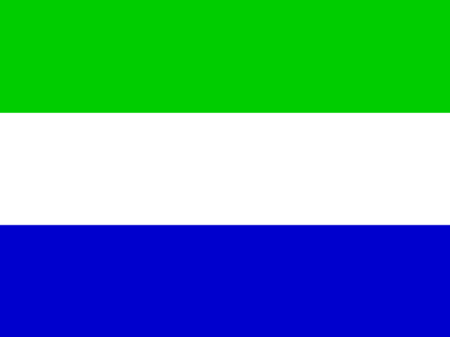

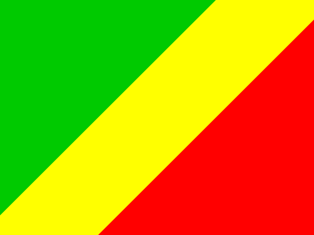
- CapitalOuésso
- Population209,701
- Area55,800 km²
- Density4/km²
Explore this place

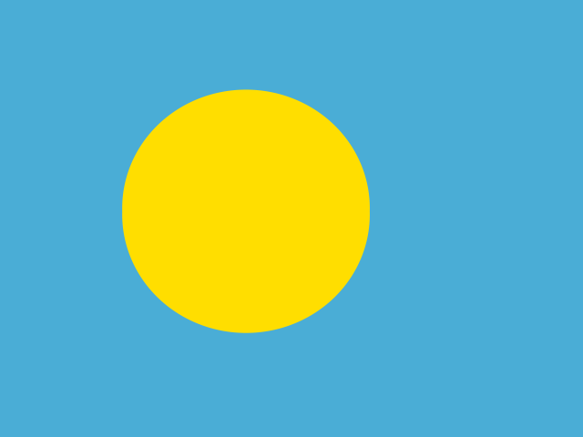

- CapitalBafoussam
- Population2.3 m
- Area13,892 km²
- Density163/km²
Explore this place
OCEANS, SEAS, BAYS & LAKES
Oceans & seas


- Area5,270 km²
- Max depth58 m
- Volume132 km³
- ShoresDemocratic Republic of the Congo + 1
Explore this water


- Max depth8,765 m
- Length930 km
- ShoresIndonesia + 3
Explore this water
WORTH GETTING LOST IN
Stories for the curious.

Whistled Tongues of the Ravines: The Silbo Gomero
A question about the ferry sits in a schoolbook beside its whistled spelling. On one side is ordinary Spanish:…

Voices Carved in Stone: The Decipherment of Maya Hieroglyphs
Alfred Maudslay found the carved stone already fallen. His diary entry for 19 March 1882 records the lintel at…

Rajasthan’s Forts: Water, Walls and Living Cities
The World Monuments Fund’s account of Jaisalmer begins beneath the sandstone skyline. As water use rose and modern plumbing…

Festivals That Bring People Together
A clay image takes months; Recife’s frevo fills the street; a household offering remembers one person. These festivals show…

Water Beneath the Sand: The Thousand-Year Foggaras of the Sahara
In a photograph made in 2025, a water measurer in Ben Aissa holds a copper plate above the channel.…

Bread of the Ancestors: Sourdough and Clay Ovens of the Levant
The crumbs in a fireplace at Shubayqa 1 were older than farming. Excavators working in the Black Desert of…

The Living Root Bridges of Meghalaya
One bridge in a 2019 study of Meghalaya’s living root bridges had been growing for 66 years and was…

Carved from the Living Rock: The Sunken Churches of Lalibela
The cross on Saint George's roof lay below Francisco Álvares. Visiting Lalibela in the 1520s, the Portuguese priest found…

Untranslatable Words: Five Histories Behind the Label
After the Second World War, William Barclay asked the Red Cross and Allied agencies tracing looted property to help…


The Way of Tea: Harvests, Hearth, and Silence in Uji
Rice left a clue beneath the tea bushes at Okunoyama. Gen Inoue and his colleagues dug into the soil…
ONE WORLD. SO MANY WAYS IN.
Nine topics.What sparks your curiosity?
Follow a flavor. Uncover a history. Find a different point of view.
Endless connections.
HistoryStories that shaped us.FoodA taste of somewhere.Art & ArchitectureMade to move you.PeopleMeet the world.Traditions & FestivalsLife, celebrated.NatureFind your wild.LanguageMore than words.PlacesGo beyond the familiar.CultureEveryday extraordinary.
MORE WAYS IN