



Two capitals, one river, two countries
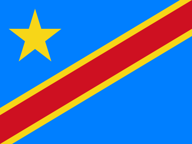
Brazzaville and Kinshasa face each other across the Congo River. They are national capitals on opposite banks, but they belong to different states: Brazzaville is the capital of the Republic of the Congo; Kinshasa, across the water, is the capital of the Democratic Republic of the Congo. That difference is easy to blur in headlines and maps, yet it is the first thing a newcomer needs to know. The two societies share histories, languages and music, while each has its own government and political path. Here, the river is both a border and a meeting place.[1][2]
The state is often called Congo-Brazzaville to distinguish it from its larger neighbor. It stretches from a short Atlantic coast through southern savannas and plateaus into the deep forests of the north. The Congo and Ubangi rivers form much of its eastern border. From north to south, the land shifts through equatorial rainforest and swamp forest in the Cuvette basin, the Batéké plateaus, the fertile Niari valley, the forested Mayombe range and a narrow coastal plain. A map can make the territory look like one unbroken green interior. In reality, more than two-thirds of residents live in two urban areas: Brazzaville on the river and Pointe-Noire on the coast. National life therefore moves between busy cities and a vast, thinly settled countryside.[3][14][17]
Pointe-Noire serves as the country’s main Atlantic port and oil hub. Its deepwater harbor, the 510-kilometer Congo-Océan railway (CFCO) through the Mayombe hills, and paved National Road 1 (RN1) to Brazzaville form the southern transport spine. That corridor links the capital, towns such as Dolisie and Nkayi, and river barges on the Congo and Ubangi to ocean shipping. Transport still faces real hurdles: aging tracks, hillside washouts and road repairs regularly test how smoothly goods and travelers move between the sea and the interior.[3][14]

A river city and its crossings
Brazzaville stands on the north bank of the Congo at the lower edge of Pool Malebo. There, the river widens to more than twenty kilometers around Mbamu Island before plunging into the Livingstone Falls rapids toward the Atlantic. Because those violent rapids block ocean ships from steaming upriver from the sea, Pool Malebo became the natural port terminus for boats crossing the interior basin. Across the water, Kinshasa rises on the south bank. Their closeness makes them the world’s nearest pair of national capitals outside Rome. Residents look across a channel that divides two states while joining a shared cultural world. Ferries and motor launches cross between the two ports under border and customs rules, making the riverfront the clearest place to grasp the country’s geography.[1][2][14]

Brazzaville’s role also reaches back into colonial history. Founded as a French post in 1880 after treaties between Pierre Savorgnan de Brazza and the Teke king Makoko Iloo I, the town became the federal capital of French Equatorial Africa in 1910. That colonial federation governed territories stretching through modern Gabon, the Central African Republic and Chad. Between 1940 and 1943, after Governor-General Félix Éboué rallied the colony to Charles de Gaulle, Brazzaville served as the capital of Free France in Africa. In 1944, it hosted the Brazzaville Conference on French colonial policy. Those layers still mark historic quarters such as Poto-Poto, Makelekele and Bacongo, as well as the city’s long tradition of schools, administration and political debate.[2][4][16]
One cultural current crosses the river far more easily than a passport: Congolese rumba. Inscribed by UNESCO in 2021 as shared heritage on both banks of the river, rumba grew from older Central African dance rhythms called nkumba. Those rhythms crossed the Atlantic with enslaved Africans to Cuba and returned on Afro-Cuban son records in the 1930s and 1940s. In the studios, dance bars and courtyards of Brazzaville and Kinshasa, guitarists, horn players and singers shaped an expressive urban style sung mostly in Lingala. Alongside the music, impeccably dressed stylists of the Sape movement in Bacongo and Poto-Poto turned tailoring, color and comportment into a celebrated urban art.[5]
Forest country, and the people who live there
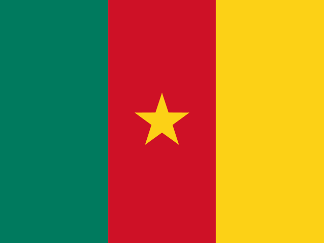
Travel north from the Batéké plateaus into Cuvette, Sangha and Likouala, and the city gives way to rainforest, wide rivers and remote towns linked by long roads or river barges. In the far north, the Sangha Trinational World Heritage site joins three contiguous national parks where Congo-Brazzaville, Cameroon and the Central African Republic meet. Nouabalé-Ndoki National Park forms the Congolese heart of that protected block. Farther west near Gabon, UNESCO inscribed the Forest Massif of Odzala-Kokoua in 2023. Its rainforests, savanna edges and mineral clearings called bais shelter forest elephants, western lowland gorillas, chimpanzees and hundreds of bird species.[6][7]

Forest protection is never only about wildlife. UNESCO notes that hunting and gathering are banned inside the strict national park zones of the Sangha Trinational site, changing how local people can use the woods. Reporting from villages near Nouabalé-Ndoki, such as Bomassa and Makao, describes how BaAka Indigenous families lost access to customary hunting, wild yams and honey inside the park. Newer initiatives have hired BaAka trackers, eco-guards and community liaisons while seeking to apply Congo’s landmark 2011 law promoting and protecting the rights of Indigenous populations. Those local experiences show why lasting forest care in the northern basin has to respect Indigenous land rights and forest knowledge alongside conservation rules.[6][8]
In the low-lying Cuvette Centrale basin, swamp forests also stand above a vast underground carbon vault: tropical peatlands formed from waterlogged plant matter over roughly ten thousand years. Field studies published in Nature in 2017 and 2022 showed that the central basin peatland complex—shared across the river border by both Congos—covers more than 145,000 square kilometers and holds about thirty billion metric tons of carbon. Because peat stays locked in the ground only while the swamp soil stays wet, cutting drainage ditches for logging roads, plantations or oil wells risks releasing huge amounts of carbon into the air. That finding changed how scientists and officials view the northern swamps: they are a delicate water system whose intact hydrology matters to the whole planet.[9][10]
Such natural wealth can create a false picture of easy prosperity. The World Bank describes Congo-Brazzaville as a forest-rich country whose state budget and exports rely heavily on offshore crude oil pumped near Pointe-Noire. Oil brings in the bulk of export earnings and public revenue, yet swings in oil prices, heavy public debt and scarce non-oil jobs have left nearly half of residents in poverty. Power cuts, gaps in clean water and worn rural roads remain daily hurdles. Turning oil and timber income into stronger schools, clinics and local farms is one of the country’s central economic tasks.[3][11]
Inland water routes also sustain vital regional food networks. Along the central reaches of the river, port towns like Mossaka and Makoua serve as active transit hubs for river fishers. Families catch catfish and tilapia from wooden dugouts, smoking the fish over hardwood fires or wrapping it with herbs in marantaceae leaves to make maboké. Cargo barges called baleinières transport these smoked fish bundles alongside cassava sacks and palm oil downriver to Brazzaville’s riverfront docks at Yoro. These inland fluvial exchanges feed urban neighborhoods and connect remote riparian villages to the cash economy far beyond the reach of paved highways.[14][15]
More than one language, more than one past
Article 6 of the constitution names French as the official language and recognizes Lingala and Kituba (also called Munukutuba) as national vehicular languages. Those two shared languages help people with different mother tongues talk across regions. In daily life, geography shapes which language you hear first. Kituba—rooted in Kikongo—is spoken widely along the southern rail and road belt from Pointe-Noire through Dolisie and the Niari valley into southern Brazzaville. Lingala dominates along the Congo River, in northern Brazzaville and across the northern river basins. Beside them, families speak dozens of Bantu and Ubangian community languages—including Kongo, Lari, Vili, Bembe, Teke and Mbochi—alongside Indigenous forest languages such as Aka. Shifting between a family tongue at home, Kituba or Lingala in the market, and French at school or work is part of ordinary life.[12][17]
Food makes another side of daily life visible. Although the country has rich soils and ample rain, it imports a large share of its commercial food, while local farming rests mainly on women growing cassava, plantains, groundnuts, maize and leafy greens. Cassava reaches the table through days of patient household labor. In Loudima, in the southern Bouenza valley, a World Food Programme story followed women who dig cassava roots, soak and ferment them in water for days to remove natural toxins, pound the soft mash into a smooth paste, wrap it in wide forest leaves and steam it in big pots to make chikwangue (kwanga). Sold at train stops, highway stalls and city markets, chikwangue is eaten with grilled or stewed river fish, ocean fish, poultry, and pounded cassava leaves (saka-saka) cooked with palm oil and groundnut paste.[3][15]
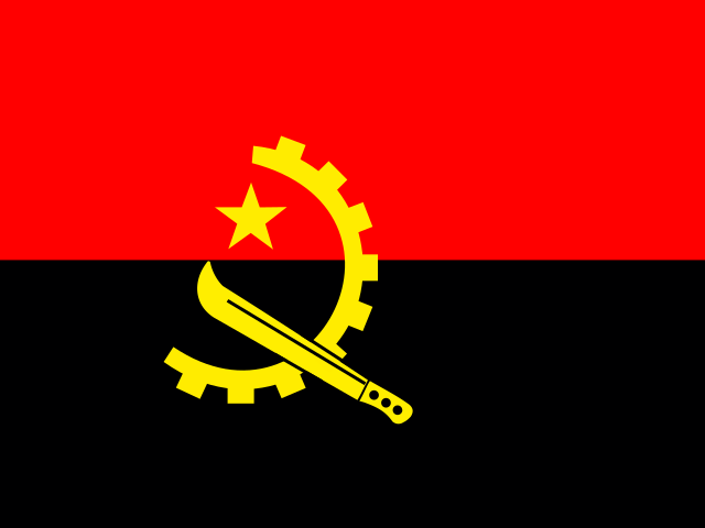
The name Congo also carries political histories much older than the modern state. Before European colonial partition, these lands belonged to major African kingdoms and chiefdoms: the Kingdom of Loango along the Atlantic coast, the Kingdom of Kongo in the south, the Teke Kingdom across the plateaus around Pool Malebo, and Mbochi and river chiefdoms in the north. As the environment ministry notes, Kongo, Teke and Vili family networks still cross the modern borders linking Congo-Brazzaville, Congo-Kinshasa, Angola’s Cabinda enclave and Gabon. In the late nineteenth century, French colonial rule carved out Middle Congo (Moyen-Congo) and handed huge forest tracts to private concession firms. Between 1921 and 1934, French colonial authorities used brutal forced labor to build the Congo-Océan railway through the Mayombe mountains, a project in which more than seventeen thousand African workers died.[4][14][17]
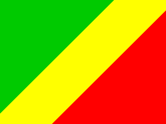
The republic gained independence from France on 15 August 1960 with Fulbert Youlou as its first president. Three years later, a three-day popular and trade-union uprising in August 1963—remembered as the Trois Glorieuses—forced Youlou to resign and ushered in nearly three decades of single-party socialist rule. From 1969 to 1991, the country was officially called the People’s Republic of the Congo under presidents Marien Ngouabi, Joachim Yhombi-Opango and Denis Sassou Nguesso. In 1991, a Sovereign National Conference restored multiparty elections and the republic’s earlier name and flag. However, disputed votes and armed militia clashes in the 1990s—especially the destructive 1997 civil war in Brazzaville and later fighting in the Pool department—battered the capital and southern railway corridor. Denis Sassou Nguesso returned to power in 1997 and has remained president since, governing under a revised 2015 constitution.[4][12][13]
Visual arts and literature also reflect these crosscurrents of urban life and political memory. Founded in Brazzaville in 1951, the Poto-Poto School of Painting pioneered an influential modern African art movement where self-taught painters developed stylized gouache figures and patterned wildlife scenes that broke away from colonial academic conventions. In literature, Congolese authors writing in French—most notably novelists and playwrights such as Sony Labou Tansi, Tchicaya U Tam’si and Alain Mabanckou—have gained international acclaim for satirical, linguistically inventive portraits of post-colonial power, urban survival and historical disillusionment. Their works celebrate the irreverent humor and linguistic vitality of Congolese cities while confronting the deep inequalities of resource wealth.[4][17]
What the river cannot explain by itself
The Congo River is the strongest opening image of the country, yet it cannot stand in for the whole republic. Brazzaville’s lively neighborhoods, Pointe-Noire’s oil port and beaches, the farming towns of the Niari valley, the open Batéké grasslands and the northern swamp forests all follow different rhythms. The river border with Kinshasa is immediate and busy. At the same time, land borders with Gabon, Cameroon, the Central African Republic and Angola’s Cabinda province tie the republic into a wider Central African region.[3][6][17]
To know the Republic of the Congo is to hold two scales in view at once. One scale is the wide river crossing where Brazzaville looks over to Kinshasa. The other is the deep northern forest and peatland basin where rivers, wildlife and communities cross state lines. Between them lies a country shaped by shared cultural roots and distinct state histories. Rainforests and offshore oil exist beside Kituba and Lingala, urban rumba, and women’s farm and market work. It shares a river name with its neighbor across the channel, yet this is a Congo with a landscape and story of its own.[1][5][9]
Everyday resilience here is built on local solidarity. Whether navigating seasonal floods in the Cuvette basin, maintaining cassava fields in the southern hills, or running small businesses in urban neighborhoods, Congolese families rely on extended family networks and community mutual-aid groups. Their daily work sustains life across challenging distances, ensuring that regional identities remain rooted in place even as national connections continue to evolve.[3][15]







Share what you know
Been there, grew up there, or know something we missed? Add a comment; corrections with a source are especially welcome.