
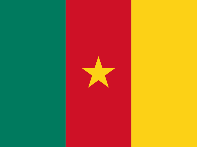
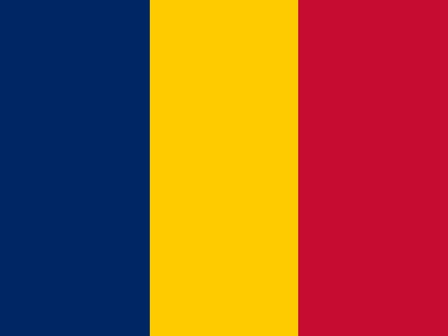

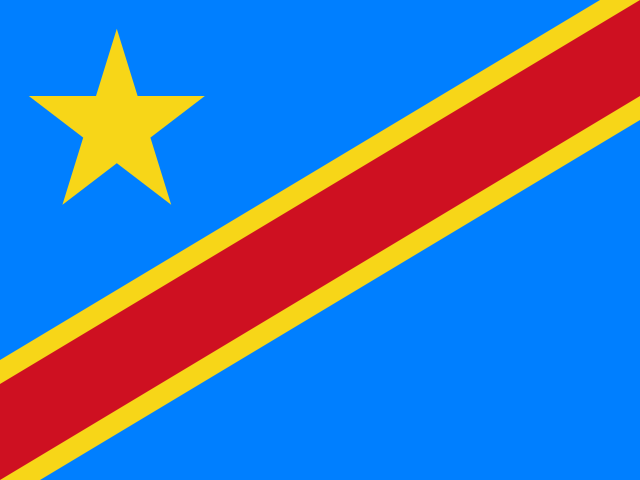

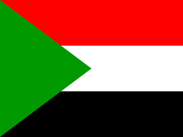


Bangui faces the Democratic Republic of the Congo across the wide brown waters of the Ubangi River. Small wooden passenger boats, dugout canoes (*pirogues*), and cargo barges shuttle continually between the capital’s riverfront landings and the opposite shoreline at Zongo, while the main river current flows downstream toward the Congo River basin.[1][2][reference needed] For a landlocked republic occupying an expansive plateau in the geographical heart of equatorial Africa, the Ubangi performs a double role: it serves as both an international political frontier and an indispensable commercial trade highway.[1][2] Here, water connects territories that modern political cartography separates, offering a vantage into the country’s physical geography, its ecological richness, and the ongoing historical task of extending state institutions across rural provinces.[1][2][reference needed]

The Central African Republic occupies an undulating plateau bridging the dense equatorial rainforests of the Congo Basin in the south and the open, sun-baked Sudano-Sahelian savannahs in the north.[1][3] This transitional territory encompasses a diverse ecological gradient: dense evergreen rainforests in Sangha-Mbaéré, wooded savannah mosaics across Ombella-M’Poko and Ouham, and semi-arid grasslands in northern prefectures like Vakaga and Bamingui-Bangoran.[1][3] The land is drained by two monumental continental drainage systems: the southern rivers—the Ubangi, Sangha, Mbali, and Kotto—which flow south into the Congo River system toward the Atlantic Ocean; and the northern streams—the Chari and Logone—which flow northward across Chad into Lake Chad.[3][reference needed]
Seasonal rainfall dictates the rhythm of rural life across the republic. In the southern forest belt, an extended eight-month rainy season sustains perennial river flow, supporting intensive smallholder farming, commercial timber harvesting, and artisanal river fishing.[3][reference needed] In contrast, the northern savannahs experience a shorter rainy season punctuated by long dry months governed by dry, dust-laden Harmattan winds sweeping south from the Sahara Desert.[3][reference needed] Climate risk assessments conducted by the World Bank emphasize that shifting rainfall calendars, prolonged dry spells, and intense localized storms pose rising challenges for rain-fed subsistence farming and seasonal river navigation.[3][reference needed]
From ancient megaliths and colonial concessions to sovereign statehood
Deep archaeological roots anchor the plateau. In the western highlands around Bouar in Nana-Mambéré, hundreds of ancient granite standing stones known as the Tazunu megaliths date back over two thousand years to the late Stone Age and early Iron Age.[6][reference needed] Arranged in geometric funerary enclosures and tumuli across granite hilltops, these monumental stone pillars attest to complex ancestral societies that practiced iron smelting, collective burial rites, and astronomical observation long before external trading contacts were forged.[6]
Prior to European colonial penetration, the territory was home to decentralized farming communities, hunting societies, and autonomous trading clans. During the eighteenth and nineteenth centuries, northern Islamic sultanates—including Dar al-Kuti and Wadai, led by warlords like Rabih az-Zubayr—conducted devastating cavalry slave raids (*razzias*) across the savannah, depopulating large swathes of the northern plains and driving indigenous populations into remote forest sanctuaries.[6][reference needed]
In the late nineteenth century, French colonial expeditions advanced up the Ubangi River, establishing the colonial territory of Oubangui-Chari in 1905 within French Equatorial Africa (*Afrique Équatoriale Française*, AEF).[6][reference needed] Rather than investing in public infrastructure, the French colonial administration leased vast territorial monopolies to private concession companies. These concessionaires brutally exploited local populations through forced labor (*corvée*) to gather wild rubber and ivory, and later enforced mandatory cotton cultivation, provoking heroic indigenous resistance movements such as the Kongo-Wara War (“War of the Hoe Handle”) between 1928 and 1931.[6][reference needed]
In the post-World War II period, Catholic priest Barthélemy Boganda emerged as the visionary father of Central African nationalism. Founding the Movement for the Social Evolution of Black Africa (MESAN), Boganda championed pan-African solidarity, proposing the creation of a vast federal “United States of Latin Africa” uniting former French, Belgian, and Portuguese territories.[6][reference needed] Tragically, Boganda died in a mysterious plane crash in March 1959, months before the country achieved formal independence on 13 August 1960 under President David Dacko.[6][reference needed] The newly sovereign state entered a tumultuous post-colonial era, punctuated by the 1965 military coup of Jean-Bédel Bokassa—who later proclaimed himself Emperor of the Central African Empire in a lavish 1977 coronation—followed by decades of governance crises, military mutinies, and institutional fragility.[6][8]
Peace accords, MINUSCA and the extension of state authority
The contemporary political landscape of the Central African Republic has been deeply shaped by the civil conflict that erupted in 2012–2013, when the predominantly Muslim Séléka rebel coalition seized power in Bangui, triggering counter-offensives by anti-balaka militias.[8][9] The ensuing violence displaced hundreds of thousands of civilians and fractured the country into localized zones of armed militia control, disrupting agricultural production, trade networks, and administrative governance across the prefectures.[8][reference needed]
In February 2019, the government and fourteen armed groups signed the landmark Political Agreement for Peace and Reconciliation in the Central African Republic (APPR-RCA) in Khartoum, establishing a comprehensive framework for disarmament, demobilization, reintegration (DDR), and political decentralization.[10] Under the stewardship of the United Nations Multidimensional Integrated Stabilization Mission in the Central African Republic (MINUSCA), international peacekeepers have provided critical civilian protection and logistical support.[11][12]
In her briefings to the United Nations Security Council, Special Representative Valentine Rugwabiza highlighted notable strides in security sector reform, the deployment of the national armed forces (FACA) to provincial administrative seats, and the restoration of judicial institutions outside Bangui.[11][12] Nevertheless, independent evaluations by the Bertelsmann Transformation Index and Human Rights Watch emphasize that lasting stability requires tackling structural challenges: addressing abuses by armed groups and allied security forces, securing national borders against regional spillover from Sudan and Chad, and ensuring equitable access to basic social services and justice for rural populations.[8][9][reference needed]
Forest ecosystems, indigenous stewardship and Dzanga-Sangha
In the remote southwestern corner of the country, where the borders of the Central African Republic, Cameroon, and the Republic of the Congo converge, lies one of the most pristine tropical rainforest landscapes on the African continent. Inscribed as a UNESCO World Heritage site in 2012, the Sangha Trinational protected area encompasses continuous semi-evergreen and swamp forests sheltering exceptional megafauna, including western lowland gorillas, chimpanzees, giant pangolins, and bongo antelopes.[15][16]

The crown jewel of this reserve is Dzanga Bai, known poetically as the “Village of Elephants.” Spanning ten hectares of sandy mudflats inside Dzanga-Ndoki National Park, this natural forest opening is fed by mineral-rich springs.[15] Every day, hundreds of African forest elephants (*Loxodonta cyclotis*) emerge from the surrounding dense forest canopy into the clearing, using their trunks and tusks to excavate mineral salts essential to their nutrition.[15] The clearing serves as a vital social arena where solitary herds congregate, establish dominance hierarchies, and communicate across kilometers using infrasonic rumbles.[15] Overhead, towering emergent hardwood trees like moabi (*Baillonella toxisperma*) and African mahogany (*Khaya anthotheca*) shelter noisy flocks of African grey parrots and black-casqued hornbills feeding on seasonal forest fruits.[15][16]
These ancient forests are also the ancestral home of the Indigenous BaAka people, whose deep ecological knowledge of botanical medicine, tracking, and canopy flora has sustained human communities in the Congo Basin for millennia.[15][16] However, modern conservation boundaries have introduced complex social dilemmas. While strict national park rules prohibit traditional hunting and gathering within core wilderness zones, park authorities and human rights organizations increasingly recognize the imperative of community co-management.[15][16] In the surrounding Dzanga-Sangha Special Reserve, zoning agreements permit regulated customary foraging for wild yams, wild honey, and edible caterpillars, seeking to balance biodiversity conservation with the ancestral rights and food security of forest-dwelling communities.[15][16]
Music provides an extraordinary expression of BaAka cultural heritage. In 2008, UNESCO inscribed the polyphonic singing of the Aka Pygmies on the Representative List of the Intangible Cultural Heritage of Humanity.[18] Characterized by complex contrapuntal vocal improvisation, continuous yodeling (*disseche*), and four-part vocal polyphony without a single conductor or hierarchy, this singing accompanies forest rituals, successful elephant hunts, and community encampment ceremonies (*yelli*).[18] Accompanied by rhythmic handclapping and single-string musical bows (*geedal*), BaAka polyphony mirrors the social structure of their egalitarian forest bands, where every individual voice contributes spontaneously to the harmony of the whole.[18]
Linguistic cohesion, pastoral transhumance and social fabric
Unlike many African nations characterized by linguistic fragmentation, the Central African Republic possesses a powerful linguistic unifier in Sango. Originally a trade lingua franca of the Ngbandi language group spoken along the Ubangi River, Sango was adopted by river traders, Christian missionaries, and migrant laborers, evolving into a nationwide vehicular language.[13] Recognized alongside French as an official national language, Sango is spoken by over ninety percent of the population across more than eighty ethnic communities, including the Gbaya, Banda, Mandjia, Sara, and Mboum.[6][13] This shared mother tongue serves as an everyday bridge uniting citizens across regional, ethnic, and religious lines.[13]
Across the northern savannah plateaus of Ouham, Ouham-Pendé, and Vakaga, pastoralism forms a cornerstone of the rural economy. Nomadic Mbororo Fulani pastoralists herd long-horned zebu cattle across traditional seasonal transhumance routes, migrating southward during the dry season toward river floodplains and returning north during the monsoon.[3][reference needed] In rural market villages, traditional blacksmiths forge durable hand-held farming hoes, axe blades, and curved weeding knives from scrap metal in charcoal-fired forges, equipping local farmers for the arduous labor of clearing savanna brush.[6][reference needed] While transhumance has historically fostered mutually beneficial trade between herders (who supply meat, leather, and milk) and sedentary agriculturalists (who provide grain and grazing crop residues), climate-induced drought and armed conflict have heightened tensions over water points and grazing lands, necessitating local community peace committees to mediate pastoral corridors.[9][reference needed]
Agrarian rhythms, Bangui’s urban life and river commerce
In rural villages across the country, everyday diet and subsistence center on cassava (*manioc*), introduced to the Congo Basin during the Columbian exchange. Tubers are soaked in flowing streams to ferment and leach toxic cyanogenic glucosides, sun-dried on slatted racks, and pounded into white flour to prepare a dense porridge known as *boule* or *gozo*.[reference needed][reference needed] Tender young cassava leaves, known in Sango as *ngunza*, are pounded in wooden mortars and simmered slowly with palm oil, crushed groundnuts, and smoked river fish to create the quintessential national sauce.[reference needed][reference needed] In forest regions, diets are enriched with sweet plantains, wild mushrooms, and seasonal forest delicacies such as *koto* (protein-rich mopane caterpillars), while savannah farming households cultivate sorghum, millet, groundnuts, and sesame.[reference needed][reference needed] Along the sandy shores of the Ubangi and Lobaye rivers, fishing cooperatives construct earthen smoking kilns to preserve fresh catches of Nile perch (*capitaine*) and catfish over slow-burning aromatic hardwood embers, producing firm smoked fish that travels without refrigeration to interior rural markets.[2][reference needed]
Beyond subsistence crops, rural economies rely on artisanal mining and commodity agriculture. In the central and western river basins around Berberati, Bria, and Ndele, thousands of artisanal diggers (*creuseurs*) pan alluvial gravels for rough diamonds and gold, generating vital household earnings that circulate through rural trading posts.[8][reference needed] In southern valleys, smallholder farmers cultivate robusta coffee and seed cotton, transporting their harvest along red laterite dirt roads to regional cooperative gins and drying stations.[6][reference needed]

Bangui spreads across alluvial plains framed by the verdant limestone ridges of the Basse-Kotto hills.[2][reference needed] As the country’s sole metropolitan center, Bangui houses the presidency, the University of Bangui, and sprawling open-air commercial centers such as the Kilomètre 5 (KM5) market, where traders from across central Africa buy and sell textiles, agricultural produce, timber, and artisanal goods.[2][8] Along residential neighborhoods like Lakouanga and Boy-Rabe, open-air music bars (*dancings*) hum with the rhythmic guitar riffs of Central African rumba and mont-nga-gouzou, where local dance troupes celebrate urban social resilience.[6][reference needed]
The city’s commercial life is inextricably tied to the river port. The Port of Bangui serves as the primary gateway for riverine freight navigating the Ubangi downstream to Brazzaville and Kinshasa, where cargoes transfer to railways reaching the Atlantic.[2][reference needed] Local boatbuilders along riverbank yards construct large wooden motorized freight vessels called *baleinières*, hewn from durable tropical timbers, which haul dried fish, plantains, and bags of sesame from rural river landings upriver.[2][reference needed] Under the World Bank’s Bangui River Port and Transport Connectivity Project, ongoing investments aim to modernize port quays, rehabilitate dry docks, and dredge navigation channels to withstand low-water dry periods.[2] When low water levels restrict navigation between December and May, commercial freight shifts to overland corridors linking Bangui to the Cameroonian port of Douala, highlighting the geographic vulnerability of a landlocked nation.[2][reference needed]
Yet, through the flow of the Ubangi, the communal resonance of BaAka polyphonic songs, the universal warmth of Sango, and the enduring resilience of its farming communities, the Central African Republic preserves a profound civilizational identity. Positioned between savannah and rainforest, the republic continues its search for enduring peace, sustainable stewardship of its natural wealth, and a shared national destiny rooted in the heart of Africa.[1][6][10][15][18]






Share what you know
Been there, grew up there, or know something we missed? Add a comment; corrections with a source are especially welcome.