





A river divides two capitals—and connects a country
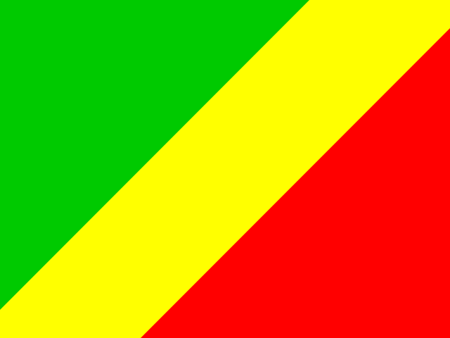
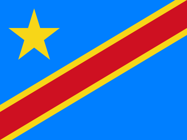
At Kinshasa, the Congo River spreads into a broad reach of water opposite another capital: Brazzaville, across the current in the Republic of the Congo. Few scenes explain the Democratic Republic of the Congo better. Its river binds distant forest towns to the country’s largest city, yet the scale of the land and the uneven reach of roads can make a short distance on a map a long journey in practice. The DRC is a country of powerful connections and difficult separations: between river and road, mineral wealth and household life, its enormous interior and the eastern communities living through conflict. [1][2]
It occupies the heart of Central Africa. The Congo Basin gathers water from a vast area into a river system whose tributaries reach forests, savannas, farms and cities. The equator crosses the country, but it does not create one uniform climate or landscape. The central basin is largely low and forested; higher ground rises toward the east, where the Albertine Rift brings mountains, volcanic landscapes and deep lakes. In the south, woodland and savanna open into the mineral-producing Katanga plateau. A narrow strip reaches the Atlantic Ocean at the river’s estuary, giving the DRC a coastline despite the country’s deep inland character. [2][3]
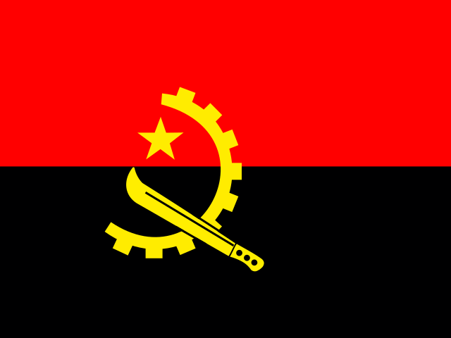
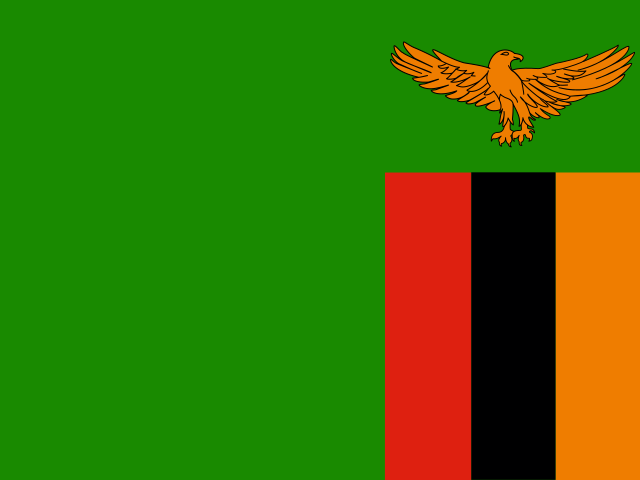
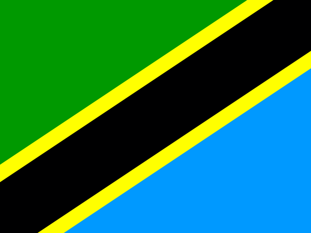
These landscapes shape how people move. River transport remains essential in parts of the interior, while air routes, roads and railways connect other places. Kinshasa is not simply the centre of a neatly joined national network. It is a vast metropolis on the western edge of the country, and places such as Kisangani, Mbuji-Mayi, Lubumbashi, Goma and Bukavu have their own regional ties and rhythms. The republic borders the Republic of the Congo, the Central African Republic, South Sudan, Uganda, Rwanda, Burundi, Tanzania, Zambia and Angola. These borders are not just lines around a vast territory: they connect families, markets and work across Central and eastern Africa, even as political boundaries shape how people travel and trade. [2][4]
For generations, the Congo has served as more than a natural feature. Its network of navigable reaches and tributaries has carried people and goods through areas where roads remain limited or difficult. Kinshasa’s river port links the capital to dozens of upstream ports, and the wider river corridor connects communities whose nearest practical route may be by boat. Elsewhere the river is interrupted by rapids, rail lines or road connections, so it does not function as one uninterrupted water highway. Thinking in terms of corridors—river, road, rail and air—helps explain why the republic’s enormous water supply does not automatically make all places easy to reach. The river is also a working route: Kinshasa’s port connects to many upstream landing places, while Matadi and Boma bring maritime goods into Kongo Central. Beyond major cities and ports, transport can be expensive and difficult, especially in the rainy season. For shopkeepers and families, these distances shape which goods arrive, how much they cost and what can be sold locally. [4][5][20]

Below Kinshasa and Malebo Pool, the Congo plunges through the Livingstone Falls in a long series of cataracts and gorges cutting through the Crystal Mountains toward the port of Matadi. Because river barges cannot pass those rapids, colonial engineers built a railway and later a paved highway across Kongo Central to link the Atlantic docks at Matadi and Boma with the capital’s river terminals. Above Kinshasa, flat-bottomed barges and wooden boats travel more than a thousand kilometres upstream to Mbandaka and Kisangani, turning the river into a floating marketplace where smoked fish, cassava, palm oil, timber and manufactured goods change hands along the banks. [4][5][20]
Kinshasa and the many centres of Congolese life
Kinshasa is the political capital and the country’s dominant urban centre, but the DRC cannot be understood from the capital alone. Lubumbashi is shaped by the copper and cobalt economy of the southeast. Kisangani sits where river movement and the forest interior meet. The Kasaï cities are connected to diamond mining, agriculture and long-established regional histories. In the east, Goma and Bukavu are lakeside cities close to national borders, with lives shaped by commerce, movement and, for many residents, repeated insecurity. Each is a different vantage point on the republic. [1][4][13][20]

In the southeast, Lubumbashi and Kolwezi sit on a high savanna plateau linked by rail and road corridors to Zambia, Tanzania and southern African ports, orienting their daily commerce toward the Copperbelt as much as toward western Congo. Along the Albertine Rift in the east, Goma stands between Lake Kivu and the active volcanic slopes of Mount Nyiragongo, while Bukavu occupies steep peninsulas at the lake’s southern outlet toward the Ruzizi River. Cross-border trade with Rwanda, Uganda, Burundi and Tanzania moves food, fuel and consumer goods through eastern markets even when insecurity disrupts rural roads into the interior. [2][4][13][20]
The river also helps explain Kinshasa’s relationship with the world beyond the country. Upstream, it is a route through the basin; at the capital, it meets road, port and air connections. On the opposite bank, Brazzaville faces it across the water. The twin capitals make the river feel at once like a boundary and a meeting place. Their proximity does not erase the national border or the distinct histories of the two Congos, but it gives daily life in this part of Central Africa a geography unlike that of most capitals. [5]
Congolese identity is expressed through many languages. French is the official language, and Lingala, Swahili, Kikongo ya leta and Tshiluba have national-language status. Their use is regional and situational: Lingala is widely heard in Kinshasa and along western river networks; Swahili is prominent across the east; Kikongo ya leta is rooted in the west; and Tshiluba is strongly associated with the Kasaï region. Hundreds of other languages carry local histories and everyday conversation. These patterns overlap, change with migration and do not divide neatly into fixed boxes. A person may use different languages at home, in a market, at school, at work or in music. [6][7]
That multilingual life is audible in Congolese rumba, a music and dance tradition shared across the two Congos and their diasporas. It grew in urban settings through exchanges that crossed the Atlantic and returned through African ports and cities. Guitar lines, voices and dance became part of public celebration, private gatherings and remembrance. UNESCO’s inscription describes a practice carried forward by professional and amateur musicians, neighbourhood clubs, schools and community groups. UNESCO’s 2026 reporting from Kinshasa traces the style’s longer route: rhythms associated with the old Kongo kingdom crossed the Atlantic with enslaved Africans, took new forms in Cuba, then returned through musical exchange to the Congo cities. In Matonge, the Kinshasa district, musicians still remember La Crèche as a venue where leading singers performed; today, younger artists negotiate rumba’s legacy alongside newer African pop. Rumba is influential and widely recognized, but it is one living tradition among many; Congolese music also includes distinct regional forms and continually changing popular styles. [8][21]
During the mid-twentieth century, recording studios and bands in Kinshasa and Brazzaville developed the guitar-driven sebene section that energized dance floors across Africa, while singers composed lyrics in Lingala addressing urban love, social obligations, grief and resilience. Alongside music, popular painting, street fashion associated with the sapologie movement, church choirs and neighborhood theater groups turn urban compounds and avenues into spaces of expressive commentary even when public services falter. In provincial capitals from Kananga and Mbuji-Mayi to Kisangani and Matadi, local radio stations and parish networks circulate news, music and market information in national and regional languages. [6][8][21][reference needed]
Savings groups, market women’s associations, student networks and motorcycle-taxi unions also organize everyday credit, transport and mutual assistance across urban neighborhoods and rural trading towns when formal banking and municipal utilities fall short. [4][7][14]
A republic formed under pressure
The Congo River gave its name to states and kingdoms long before modern borders were drawn. The Kingdom of Kongo, whose history crossed areas now in the DRC, the Republic of the Congo and Angola, built political and commercial relationships that reached the Atlantic coast. [22] In the late nineteenth century, the Congo Free State became the personal domain of King Leopold II of Belgium. Forced labor and violence under that regime caused a catastrophic loss of life. Belgium annexed the territory as a colony in 1908; colonial rule continued to shape transport, education and the extraction of wealth around export commodities. The Belgian Congo became independent on 30 June 1960. [18]
Independence arrived with few trained Congolese administrators and an army whose Belgian officers remained in command at first. Mutiny, Belgian military intervention and Katanga’s secession quickly turned the new state into a Cold War crisis. The United Nations deployed a peacekeeping mission; Prime Minister Patrice Lumumba was killed in 1961, and Joseph-Désiré Mobutu seized power in 1965. These were specific struggles over sovereignty, provincial authority, foreign intervention and resource control—not an unchanging national character. Mobutu renamed the country Zaire in 1971, ruling for more than three decades. [9]
His government fell during the First Congo War in 1997, and the state again took the name Democratic Republic of the Congo. A second regional war followed from 1998, drawing in neighboring states and armed groups. [10] Formal agreements did not end violence everywhere. The eastern provinces have continued to face changing armed conflicts, displacement and threats to civilians. In 2025, the M23 armed group captured Goma and Bukavu; a 2026 United Nations report describes further territorial advances and continued fighting in North and South Kivu. The conflict is severe and geographically concentrated, though its effects reach displaced families and communities across the country. It is essential context, but it is not a full portrait of Congolese life. [10][11][12]
The country’s size and regional variation help explain why “the east” or “the interior” should never be treated as a single place. Communities face different combinations of insecurity, mining, farming, trade, conservation, urban growth and cross-border movement. North Kivu and South Kivu are not interchangeable, and neither describes the whole country. People living through conflict have their own priorities and accounts; a map of armed-group control cannot tell their story for them. [11][12]








Share what you know
Been there, grew up there, or know something we missed? Add a comment; corrections with a source are especially welcome.