
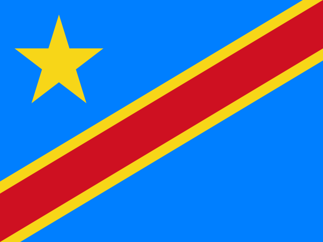
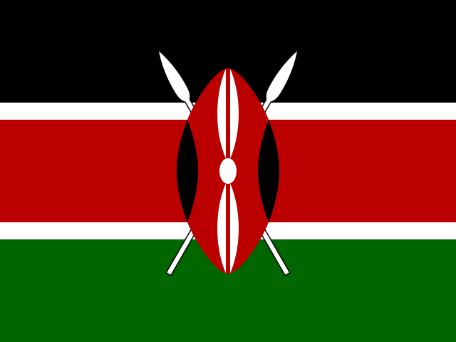


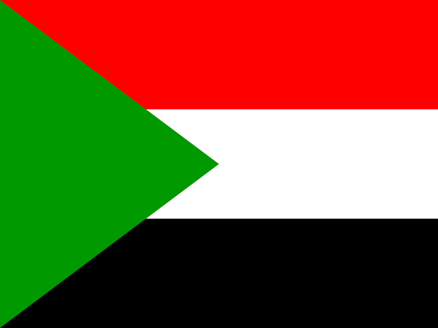
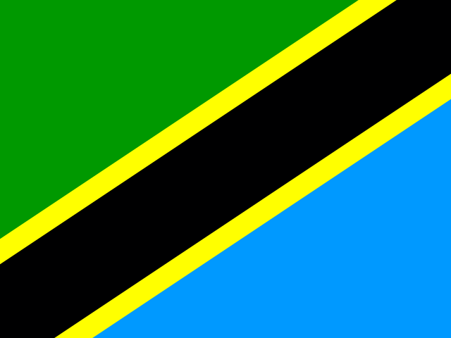


Straddling the equator in the heart of the African continent, Uganda occupies a privileged biogeographical position at the confluence of the East African savannahs and the dense rainforests of the Congo Basin. Spanning 241,555 square kilometers on the elevated East African plateau—averaging eleven hundred meters above sea level—the nation is bordered by Kenya to the east, South Sudan to the north, the Democratic Republic of the Congo to the west, and Rwanda and Tanzania to the south. Nearly a fifth of Uganda’s surface area is covered by open freshwater and lush wetlands, anchored by Lake Victoria—the world’s second-largest freshwater lake by surface area—whose waters drain northward through the historic outlet at Jinja to form the Victoria Nile, launching the epic four-thousand-kilometer hydrological journey of the White Nile toward the Mediterranean.
This geographic location bestows Uganda with an extraordinary biodiversity matrix that captivated British statesman Winston Churchill, who famously christened it the “Pearl of Africa” in his 1908 book My African Journey. In western Uganda, the continent’s crust pulls apart along the Albertine Rift—the western branch of the East African Rift System—creating a dramatic topographic corridor of deep tectonic grabens, crater lakes, towering fault-block massifs, and prehistoric montane rainforests. Within this compact territorial canvas, Uganda shelters more than a thousand recorded bird species—more than ten percent of the global total—over 345 mammal species, and nearly half of all surviving mountain gorillas on Earth.
Sanctuary in the Mist: The Mountain Gorillas of Bwindi
In the rugged southwestern corner of Uganda, clinging to the steep ridges of the Albertine Rift escarpment, lies Bwindi Impenetrable National Park. Encompassing 321 square kilometers of ancient, mist-shrouded montane and lowland forest, Bwindi is one of Africa’s most biologically exceptional Pleistocene refugia. While ice ages desiccated much of the African continent over the past several million years, turning vast woodlands into arid scrub, the high elevations and persistent orographic clouds of Bwindi maintained continuous, uninterrupted forest cover for over twenty-five thousand years, allowing flora and fauna to evolve in unbroken shelter.

Today, Bwindi provides a vital sanctuary for approximately 459 endangered mountain gorillas (Gorilla beringei beringei)—roughly half of the global wild population, with the remainder inhabiting the neighboring volcanic slopes of the Virunga Massif. Living in tightly knit social troops led by dominant silverback males, these majestic primates roam the tangled understory of giant tree ferns, wild celery, and bamboo thickets at elevations between eleven hundred and twenty-six hundred meters. The survival of Bwindi’s gorillas is the result of pioneering community-based conservation initiatives pioneered by the Uganda Wildlife Authority (UWA). By sharing substantial revenues from strictly regulated gorilla trekking permits directly with adjacent local Bakiga and indigenous Batwa communities—funding rural clinics, water collection systems, and primary schools—Uganda transformed former poachers into dedicated wildlife guardians, fostering a remarkable population recovery over recent decades.
Beneath the primate canopy, Bwindi harbors an astounding ecological richness: over 350 species of birds, including twenty-three species endemic to the Albertine Rift such as the African green broadbill and Chapin’s flycatcher, alongside more than two hundred butterfly species and ten other primate species, including L’Hoest’s monkeys, black-and-white colobus, and eastern chimpanzees. The forest floor is also the ancestral home of the Batwa people, hunter-gatherer forest stewards whose deep traditional knowledge of medicinal plants, wild honey harvesting, and subterranean root tracking forms an essential element of Uganda’s indigenous anthropological heritage.
The Hydraulic Fury: Murchison Falls and the Victoria Nile
Four hundred kilometers north of Bwindi, the tranquil waters of the Victoria Nile encounter one of the most violent hydrological choke points on Earth at Murchison Falls (known locally in the Bunyoro kingdom as Kabalega Falls). Flowing placidly through the savannah woodlands of Murchison Falls National Park—Uganda’s oldest and largest conservation area, spanning nearly thirty-nine hundred square kilometers—the mighty river abruptly constricts from a broad, fifty-meter expanse into a razor-thin rocky cleft just seven meters wide, carved through ancient Precambrian metamorphic gneisses.

Through this narrow canyon, the entire volume of the Victoria Nile—surging at roughly three hundred cubic meters per second—is forced under colossal hydraulic pressure, crashing downward forty-three meters over three tiered cascades into a foaming, thunderous basin below. The explosive force of the impact pulverizes the water into a perpetual cloud of atomized spray that generates vivid circular rainbows arching across the canyon walls, accompanied by a deep, low-frequency roar that vibrates the surrounding earth for kilometers around.
Below the falls, the river transforms into a broad, placid waterway meandering toward the marshy deltas of Lake Albert. The riverbanks support colossal concentrations of Nile crocodiles (Crocodylus niloticus), pods of hippopotamuses, African bush elephants, and Cape buffalo. In the papyrus marshes where the river enters Lake Albert, birdwatchers seek the rare and enigmatic shoebill (Balaeniceps rex), a colossal, prehistoric-looking wading bird with a massive bulbous beak adapted for catching lungfish in floating papyrus vegetation, standing motionless in the reeds for hours with predatory patience.
Glaciers on the Equator: The Rwenzori Mountains of the Moon
Rising along the western border with the Democratic Republic of the Congo, the Rwenzori Mountains present one of the most astonishing alpine landscapes on the globe. Unlike Mount Kilimanjaro and Mount Kenya, which are volcanic cones, the Rwenzori is a non-volcanic horst—a colossal block of ancient crystalline basement rock pushed upward through tectonic faulting during the formation of the Albertine Rift. Stretching 120 kilometers in length and fifty kilometers in width, the range culminates at Margherita Peak on Mount Stanley, towering 5,109 meters above sea level as the third-highest summit in Africa.

In the second century CE, the Alexandrian geographer Claudius Ptolemy wrote of snow-capped mountains in the deep interior of equatorial Africa whose melting waters fed the headwaters of the Nile, christening them the “Mountains of the Moon” (Lunae Montes). For seventeen centuries, European cartographers regarded these equatorial snows as mythical until Anglo-American explorer Henry Morton Stanley witnessed the glittering snowfields emerging from dense clouds in 1888. In 1906, Prince Luigi Amedeo, Duke of the Abruzzi, led a scientific expedition that climbed and mapped all the major summits, naming the highest peak after Queen Margherita of Italy.
Due to intense equatorial rainfall and permanent cloud cover, the Rwenzori sustains a bizarre and magnificent afro-alpine botanical ecosystem. Ascending through montane bamboo and heather zones draped in dripping Spanish moss, hikers enter the surreal upper valleys between thirty-eight hundred and forty-five hundred meters, where the landscape is carpeted in giant lobelias (Lobelia deckenii and Lobelia wollastonii) and colossal tree groundsels (Dendrosenecio adnivalis) growing over six meters tall. These strange floral giants evolved thick, insulating pith and protective leaf bracts that close tightly around the terminal buds each night to survive the severe diurnal temperature swings—often described by botanists as “summer every day and winter every night.” However, like equatorial glaciers worldwide, the Rwenzori’s ice fields are retreating rapidly due to global warming, losing over eighty percent of their glacial area over the past century, lending urgent poignancy to scientific monitoring of this delicate mountain biome.
Tree-Climbing Lions of Ishasha and Kazinga Waters
South of the Rwenzori range lies Queen Elizabeth National Park, sprawled across two thousand square kilometers of the Albertine Rift valley floor between Lake Edward and Lake George. The park’s diverse habitats—ranging from moist semi-deciduous forest in the Maramagambo forest to open savannah grasslands dotted with candelabra euphorbias—support one of the most celebrated wildlife spectacles in Africa. In the remote southern Ishasha sector, visitors encounter the world-famous tree-climbing lions. Unlike typical lions who remain on the ground, Ishasha’s black-maned lions regularly climb into the horizontal branches of giant sycamore fig trees (Ficus sycomorus) during the heat of the day, resting six to ten meters above the ground to escape oppressive surface heat, avoid biting tsetse flies, and maintain a panoramic vantage point over grazing herds of Ugandan kob (Kobus kob thomasi).
Connecting Lake George and Lake Edward is the Kazinga Channel, a natural thirty-two-kilometer freshwater waterway that sustains one of the highest concentrations of hippopotamuses in the world. Cruising along the channel reveals thousands of hippos wallowing in dense schools, Nile monitor lizards basking along sandy embankments, and herds of African elephants swimming across the channel with their trunks held aloft like periscopes. Concurrently, along the western flanks of extinct Mount Elgon on the Kenyan border, the threefold cascading waterfalls of Sipi Falls drop 177 meters over volcanic basalt cliffs, surrounded by terraced smallholder farms where the Bagisu people cultivate premium bugisu Arabica coffee In addition, the crater lakes of Bunyaruguru and Ndali-Kasenda—surrounded by lush tea plantations—illustrate the explosive volcanic history of the Western Rift Valley, where dormant volcanic calderas now cradle pristine, cobalt-blue waters ringed by tropical rainforest vegetation. and maintain the biennial Imbalu public circumcision rituals that initiate young men into adulthood.
Kingdoms of the Lake: Buganda, Bunyoro, and Barkcloth Heritage
Uganda’s human geography is shaped by the enduring legacy of centralized pre-colonial lacustrine kingdoms, most notably Buganda, Bunyoro-Kitara, Toro, and Ankole. The largest and most influential of these was the Kingdom of Buganda, whose ruler, the Kabaka, commanded a sophisticated administrative bureaucracy, a massive inland naval fleet of war canoes on Lake Victoria, and extensive agricultural estates long before British contact. In 1894, the British established the Uganda Protectorate, utilizing indirect rule through the Buganda monarchy—a historical administrative favoritism that fostered complex regional tensions following national independence in 1962.
The spiritual center of the Buganda monarchy is preserved at the Kasubi Tombs in Kampala, a designated UNESCO World Heritage site. Constructed in 1882 as the palace of Kabaka Muteesa I and converted into a royal necropolis upon his death, the Muzibu Azaala Mpanga is a colossal circular dome built entirely from organic materials—timber poles, woven reeds, wattle, and thick thatch. Within this sacred space rest the remains of four successive Kabakas, guarded by royal female custodians who maintain ancestral rituals and court etiquette.
Intimately connected to Buganda ceremonial life is the art of barkcloth making (olubugo), proclaimed by UNESCO as an Intangible Cultural Heritage of Humanity in 2005. Practiced by master artisans of the Ngonge clan, barkcloth is manufactured from the inner bark of the mutuba tree (Ficus natalensis). Without felling the tree, craftsmen harvest the outer bark, wrapping the stripped trunk in banana leaves so it regenerates for future harvests. The inner fibers are then softened with boiling water and hammered for hours with grooved wooden mallets (ensamu), expanding a narrow strip of bark into a wide, terracotta-colored textile soft as leather. Worn during royal coronations, investitures, and traditional funerals, barkcloth embodies the sustainable harmony between indigenous forest management and royal statehood.
Agricultural Breadbasket, Coffee Cultivation, and East African Integration
Blessed with fertile volcanic soils, two annual rainy seasons, and abundant water resources, Uganda is the natural agricultural breadbasket of East Africa. Agriculture employs over seventy percent of the working population, dominated by smallholder family farms cultivating cooking bananas (matooke), sweet potatoes, cassava, maize, and millet. In the central and southern regions, the steamed mash of matooke wrapped in banana leaves is the quintessential national staple, central to family gatherings and communal feasts.
On the international commercial stage, Uganda is Africa’s premier exporter of coffee, competing with Ethiopia for continental leadership. In the fertile foothills of Mount Elgon in the east, smallholder cooperatives cultivate high-altitude Arabica coffee with delicate citrus acidity, while the central and southwestern plateau regions produce native Robusta coffee (Coffea canephora), which originated wild in the equatorial forests of the Lake Victoria basin. The expansion of fair-trade washing stations and specialty farmer cooperatives has elevated household farm incomes, providing essential foreign exchange alongside exports of premium black tea, fresh Nile perch from Lake Victoria, and horticultural cut flowers.
In modern infrastructure, Uganda is harnessing the power of the Nile to achieve regional energy independence. Colossal run-of-the-river hydroelectric dams—such as the 250-megawatt Bujagali Dam and the 600-megawatt Karuma Hydroelectric Power Station—generate clean, renewable electrical power, transforming Uganda into a net exporter of electricity within the East African Power Pool. Meanwhile, the development of major petroleum discoveries in the Albertine Graben around Lake Albert, coupled with the construction of the East African Crude Oil Pipeline (EACOP) to the Tanzanian port of Tanga, is set to reshape the nation’s fiscal landscape, demanding rigorous environmental safeguards to protect delicate rift ecosystems.
Anchored by the enduring monarchical dignity of Buganda, sustained by the fertile soils of the Victoria basin, and celebrated by the sapphire crater lakes of Bunyaruguru, guarded by the snowfields of the Rwenzori and the gentle giants of Bwindi, Uganda moves through the twenty-first century with cultural pride and ecological wonder.








Share what you know
Been there, grew up there, or know something we missed? Add a comment; corrections with a source are especially welcome.