


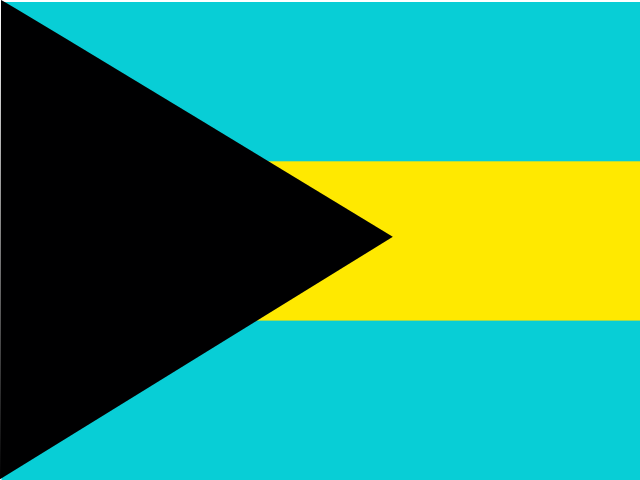

From space, the Bahamas can look like a scatter of bright islands on a blue field. At sea level, that view changes: much of the country is not land at all, but a broad, shallow platform of limestone, sand and seagrass, cut by channels that drop suddenly into deep water. The islands rise from this platform in a long arc off the southeastern coast of the United States. The sea is therefore not a border around the Bahamas. It is the country’s connective ground, its food source, its highway and, increasingly, the measure against which its future is being planned.[1][2]
That geography helps explain why “the Bahamas” is both a national name and an invitation to think in plural. Nassau and neighbouring New Providence dominate government, commerce and population; Grand Bahama has a different industrial and urban history; Andros, the Abacos, Eleuthera, the Exumas and the southern islands each meet the water in their own ways. A visitor may move through a few resorts and leave with an image of easy island leisure. To understand the country, it helps to ask what holds these scattered places together—and what remains different between them.
A country built on a submerged landscape
The archipelago sits on the Great and Little Bahama Banks, enormous underwater platforms made largely of carbonate material: the accumulated remains and fragments of organisms such as corals and shells, along with fine carbonate mud. Much of the banks’ surface is shallow enough for sunlight to reach the seabed. Seagrass meadows, reefs and mangroves occupy parts of this marine landscape, while tidal currents shape sand into shifting ripples and flats. Beyond the banks, the seabed can fall steeply into deep ocean channels. The contrast between pale shallows and dark water is not just a visual signature; it marks a sharp change in habitat and conditions.[1][3]

On land, low ridges of limestone, pine forests, wetlands and tidal creeks replace the postcard image of an unbroken beach. Andros, the largest island, is crossed by creeks and bordered by extensive wetlands and reef systems. The shallow banks around the Exumas give way to the deeper Exuma Sound. In the north, the Abacos form a chain of islands and cays; farther south, Long Island and Inagua sit within a more distant island world. The country’s political map covers widely separated places, but the sea’s depths, currents and weather make those distances felt.[2][3][22]
These islands are the exposed edges of a much larger geological structure. Their present shape reflects changing sea levels over long periods, as well as continuing erosion and deposition. During colder periods when more of the planet’s water was locked in ice, the banks stood higher above the sea; as sea levels rose, much of that former land was drowned. Caves and blue holes—some inland, some opening beneath the sea—preserve clues to those changing conditions. The result is a country whose land-water boundary is unusually intimate: freshwater lenses sit within porous limestone, saltwater is never far away, and the coastal ecosystems that buffer storms also support fisheries and tourism.[3][4]
For people, this physical setting has made boats and aircraft essential links, especially for the Family Islands, the local name commonly used for islands outside the main population centre of New Providence. Mailboats carry goods and passengers on routes that connect Nassau with settlements across the archipelago; domestic flights shorten some journeys, but schedules and costs shape who can use them. A map suggests that the islands belong to one compact country. Everyday movement reveals the work required to keep a dispersed country connected: shipping food and supplies, reaching schools and health services, and travelling for family, government or employment.[5]







Share what you know
Been there, grew up there, or know something we missed? Add a comment; corrections with a source are especially welcome.