
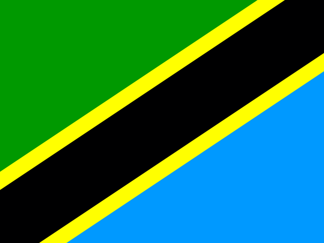

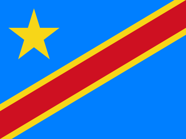


Burundi’s southwestern edge descends steeply into Lake Tanganyika, whose vast, slate-blue waters form an indispensable maritime highway linking the sovereign republic to the wider African Great Lakes region. Bujumbura, the economic capital and primary commercial port, sprawls along the lakeshore plain; Gitega, the political capital designated in 2019, stands sixty kilometres inland amidst the cool, mist-shrouded central highlands. The physical distance between these two hubs reflects a profound geographic and historical duality: the active, humid lakeshore where commercial vessels berth beside container yards, and the ancient agrarian interior where royal courts once held court among terraced ridges. To comprehend Burundi is to enter a country of striking topological contrasts, where waters divide toward two continental oceans and where a densely populated countryside negotiates land, memory, and community cohesion.[1][2][3]
Watersheds and ridges: the Congo-Nile divide and Lake Tanganyika
Positioned at the geographical heart of the Albertine Rift—the western branch of the East African Rift System—Burundi is bordered by Rwanda to the north, Tanzania to the east and south, and the Democratic Republic of the Congo to the west. Despite its compact land area of less than twenty-eight thousand square kilometres, the territory spans dramatic topographical gradients. Along the western border, the narrow Imbo plain borders Lake Tanganyika at 772 metres above sea level, warmed by tropical heat and drained by the sluggish Rusizi River flowing south from Lake Kivu. Immediately eastward, the land rises precipitously into the Mirwa mountain ranges, whose jagged forested crests climb to over 2,600 metres at Mount Heha, forming a formidable natural rampart separating the rift valley from the interior plateau.[1][3]
Running along the spine of these western highlands is the legendary Congo–Nile continental divide. This geological ridge acts as an immense hydrological watershed: rainwater falling on the western slopes flows into the Rusizi and Lake Tanganyika, eventually draining through the Lukuga and Lualaba rivers into the Congo River and the Atlantic Ocean. Conversely, precipitation falling on the eastern slopes feeds the highland Ruvyironza, Ruvubu, and Kagera river networks, embarking on a northern journey toward Lake Victoria, the White Nile, and ultimately the Mediterranean Sea.[3][5] Near the southern town of Rutovu on the forested slopes of Mount Gikizi, a stone pyramid marks the southernmost headstream of the Nile basin, where cool springs bubble forth to begin the river’s 6,650-kilometre passage across northeastern Africa.[4][5]

Lake Tanganyika itself dominates Burundi’s western border and economic life. As the world’s second-deepest and second-largest freshwater lake by volume, its transparent waters plunge to depths exceeding 1,400 metres within a steep tectonic graben. Because warm surface waters do not circulate with the frigid depths, the lake remains permanently stratified, with all aquatic life concentrated in the upper two hundred metres. These sunlit shallows harbor over two hundred and fifty species of endemic cichlids, alongside schooling freshwater clupeids known locally as *ndagala* (*Limnothrissa miodon*) and predatory *mukeke* (*Luciolates stappersii*). Every night, fleets of wooden catamarans illuminated by bright kerosene or battery-powered fishing lanterns venture onto the dark waters of the lake, hauling in silver catches that supply domestic markets across the highlands.[3][19]
The agrarian mosaic: hills, coffee terraces and high tea
East of the rift escarpment unfolds Burundi’s central plateau, characterized by thousands of interlocking, convex hills known as *collines*. In Burundian geography and society, the colline is not merely a topographical feature; it is the fundamental unit of rural settlement, social kinship, and local governance. Unlike many African nations where agricultural populations cluster in nucleated villages, Burundian farming families live dispersed across the ridges of their ancestral hills, cultivating terraced plots that cascade down steep slopes into moist valley bottoms (*marais*).[2][6]
Burundi possesses one of the highest population densities in mainland Africa, exceeding four hundred and fifty persons per square kilometre. Over eighty percent of the workforce engages in subsistence smallholder agriculture, partitioning family landholdings across generations into slender parcels often measuring less than half a hectare. To maximize food security, households practice sophisticated intercropping: high-altitude banana groves shade ground-level plantings of beans, maize, cassava, sweet potatoes, and taro cocoyams. During the dry season, farmers cultivate drained river valley bottoms to produce supplementary vegetables and off-season maize, creating a continuous green patchwork across the landscape.[6][7]

Cash crop cultivation is concentrated in two primary highland export commodities: premium Arabica coffee and high-altitude tea. In high-elevation provinces such as Muramvya, Kayanza, and Ngozi, rich volcanic soils and cool montane mist create optimal agro-ecological conditions. At Teza, situated along the edge of Kibira National Park at elevations exceeding 2,100 metres, emerald-green tea plantations wrap around mountain contours, where plucking leaves by hand sustains thousands of rural families. Simultaneously, hundreds of smallholder coffee washing stations process fully washed specialty Arabica beans, prized by international roasters for their bright citrus acidity and floral undertones. In recent years, dynamic horticultural cooperatives have diversified rural exports into Hass avocados, capitalizing on European counter-seasonal demand to supplement household farming revenues.[6][20]
Bordering these highland plantations is Kibira National Park, Burundi’s largest tract of primary montane rainforest, preserving the ancient canopy of the Congo–Nile divide. Covering over forty thousand hectares of steep, mist-draped mountain terrain, Kibira provides a crucial ecological sanctuary for endangered eastern chimpanzees, black-and-white colobus monkeys, and over two hundred species of montane birds. The dense rainforest also acts as a natural sponge, capturing cloud moisture to regulate dry-season river discharge into the Nile and Congo basins. Further east along the Tanzanian frontier, Ruvubu National Park protects meandering riverine galleries and savanna floodplains, where hippopotamuses, Nile crocodiles, and herds of waterbuck roam protected grass plains.[1][2][7]
The resonance of power: royal drums and political memory
The cultural and spiritual heart of Burundi is immortalized in its sacred drum tradition. In the historical Kingdom of Burundi, which flourished from the sixteenth century until the abolition of the monarchy in 1966, the drum was not considered a simple musical instrument; it was revered as *Karyenda*, the sacred physical embodiment of the monarch (*Mwami*), national fertility, and state sovereignty. The royal drums were housed in dedicated mountain sanctuaries, guarded by hereditary clans of drum custodians who maintained sacred groves of *cordia africana* trees (*umurinzi*), whose resonant wood was felled exclusively to carve the massive drum bodies.[8][21]
In 2014, UNESCO inscribed the ritual dance of the royal drum on the Representative List of the Intangible Cultural Heritage of Humanity. In performance, an ensemble of roughly a dozen master drummers (*abanyagasimbo*) balances seventy-kilogram wooden drums upon their heads while marching into a semicircular formation. At the center stands the *inkiranya* (master drum), around which individual performers step forward to leap into the air, flourish curved wooden sticks, and execute athletic acrobatic dances while maintaining hypnotic, polyrhythmic tempos. Accompanied by praise poetry, historical epics, and joyous shouts, the drumming evokes thunder and sovereign dignity, serving as a powerful emblem of national unity that transcends political divisions.[21][22]

Unlike many postcolonial African nations fractured by dozens of unrelated language families, Burundi is united by a universal mother tongue: Kirundi. Spoken natively by virtually one hundred percent of the population, Kirundi is a Bantu language renowned for its expressive tonal cadence, intricate proverbs, and philosophical metaphors. While French and English serve as co-official languages for government administration, higher education, and international diplomacy within the East African Community, Kirundi is the living language of daily life, storytelling, and national solidarity, establishing a deep shared cultural foundation across all social strata.[15][16]
Burundi’s post-independence history has been shaped by painful struggles over political power and communal representation. Following German colonial rule and Belgian League of Nations mandate administration, the traditional social balance between Hutu, Tutsi, and Twa populations was hardened into rigid ethnic classifications. Decades of cyclical political violence, military coups, and ethnic massacres—notably the catastrophic events of 1972 and 1993—resulted in tragic loss of life and forced hundreds of thousands into prolonged exile across Tanzania, the DRC, and Rwanda.[8][9][10][24] The landmark Arusha Peace and Reconciliation Agreement of 2000 established an innovative consociational power-sharing model, mandating strict ethnic quotas within the national assembly, senate, and security forces to prevent monopolization of power and guarantee mutual security.[11][25]
The contemporary political landscape continues to evolve through fragile democratic consolidation and regional diplomatic engagement. Following intense domestic political contestation in 2015 surrounding presidential term limits, the government in Gitega has pursued gradual administrative reforms, international re-engagement, and regional security cooperation within the East African Community and the United Nations Regional Office for Central Africa.[12][14] While independent human rights organizations and parliamentary observers continue to monitor civil liberties, electoral openness, and judicial autonomy, the state has actively encouraged dialogue with opposition figures and the return of exiled political leaders to strengthen civic institutions.[12][13]
Parallel to political reconciliation is a deeply rooted religious culture characterized by broad interfaith harmony. Over eighty-five percent of Burundians identify as Christian, with Roman Catholicism representing roughly sixty percent of the populace, alongside influential Anglican, Pentecostal, and Seventh-day Adventist congregations. An established Sunni Muslim minority, comprising approximately three percent of citizens, primarily resides in urban commercial quarters such as Buyenzi in Bujumbura. The constitution guarantees absolute freedom of worship, and religious leaders frequently collaborate across denominational boundaries in national peace commissions, healthcare clinics, and community educational initiatives.[17]
Flavours of the hearth: lakeside catches and communal feasts
Burundian culinary traditions reflect the seasonal rhythms of the volcanic soil and the riches of Lake Tanganyika. The cornerstone of the daily diet is *ubugali*, a stiff, elastic porridge prepared from boiling water mixed with cassava flour or finely ground maize meal. Diners pinch off morsels of ubugali with their right hand, indenting the center to scoop up savoury stews of red kidney beans (*ibiharage*), cooked with palm oil, onions, garlic, and wild mountain herbs. Beans are consumed in extraordinary quantities across all social classes, regarded as the primary source of protein and the essential fuel for strenuous hillside agricultural labour.[18]
Lakeside gastronomy is celebrated throughout the Great Lakes region for its freshwater delicacies. In open-air restaurants along the Bujumbura shore, cooks prepare freshly caught *mukeke*, grilling the firm white fish whole over wood coals and serving it with charred plantains and spicy chili paste (*pili-pili*). Simultaneously, artisanal fisheries preserve *ndagala* through traditional sun-drying on raised wooden racks or by smoking, enabling these protein-rich dried fish to be transported and sold in rural markets across the interior highlands.[18][19]
Hospitality and communal reconciliation are historically sealed through the sharing of traditional banana beer, known as *urwagwa*. Fermented naturally from mashed ripe cooking bananas and roasted sorghum flour in wooden troughs, urwagwa is served in large clay pots or hollowed gourds. During marriage negotiations, harvest festivals, and communal dispute settlements, elders gather to drink urwagwa together through long, slender reed straws (*imiheha*), symbolizing mutual trust, peaceful consensus, and social harmony. In urban centers, industrial lagers such as Primus and Amstel brewed with Tanganyika water have become staples of evening social gatherings.[18]
Everyday communal life also endures through artisanal material craft passed down through generations of craftspeople. Women throughout rural provinces weave delicate lidded baskets known as *agaseke*, intertwining dyed sisal fibres and wild papyrus reeds into geometric patterns that serve as wedding gifts and grain vessels. Meanwhile, Batwa artisan potters shape durable cooking vessels from dark alluvial river clays, firing them in open-air pits to supply local weekly markets across the colline landscape.[2][22]
Two capitals and the path forward
Today, the relationship between Bujumbura and Gitega embodies Burundi’s forward-looking transition. Bujumbura remains the pulsating commercial engine, housing financial banks, embassies, universities, and industrial manufacturing plants. Its port handles vital imports of petroleum, construction cement, and manufactured machinery, connecting the landlocked nation to the maritime ports of Dar es Salaam in Tanzania and Mombasa in Kenya through the Central and Northern Transport Corridors of East Africa.[3][16]
Meanwhile, the designated capital of Gitega, perched on the central plateau, is reclaiming its historical status as the political center of the nation. The relocation of ministries, government archives, and state ceremonies to Gitega decentralizes administrative authority away from the lakeshore border, bringing governance closer to rural farming communities across the interior. Nearby, the National Museum of Gitega houses royal regalia, sacred drums, and historical ethnography, preserving national memory for younger generations.[22]
Burundi also plays a compassionate role as a sanctuary for regional populations fleeing instability. The nation generously hosts tens of thousands of refugees from the neighboring Democratic Republic of the Congo, while simultaneously welcoming back thousands of Burundian citizens returning from long years of exile in Tanzania and Rwanda under United Nations repatriation programs.[23] Navigating economic hurdles, climate vulnerabilities, and land scarcity with communal resilience, Burundi moves forward—anchored by its ancient language, united by its royal drums, and drawing strength from its enduring highland heritage.[6][7][11]






Share what you know
Been there, grew up there, or know something we missed? Add a comment; corrections with a source are especially welcome.