

FOR THE WILDLY CURIOUSThe world is
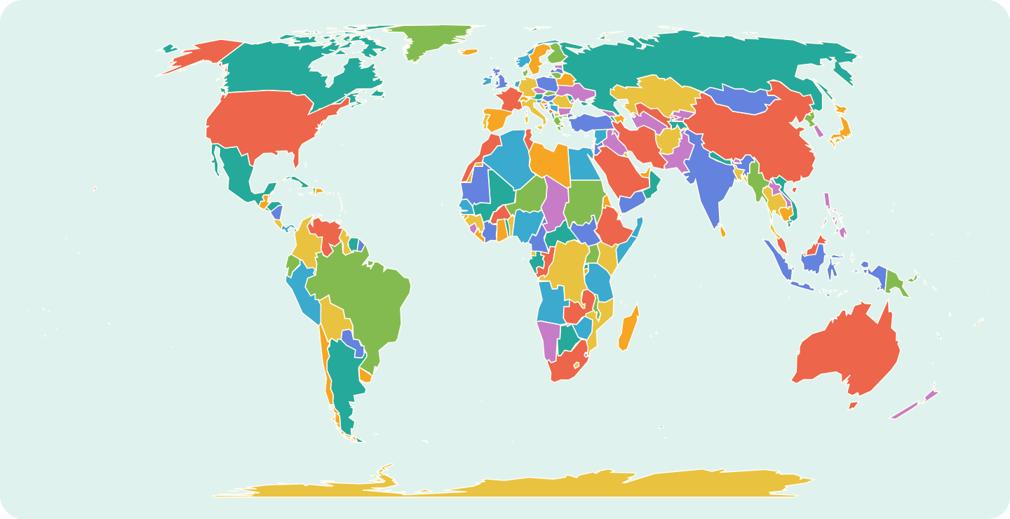 The world, at your fingertips.Explore the map Map: Natural Earth · simplified preview
The world is
full of stories.
Find yours.
Take the scenic route through places, people and cultures. There’s a whole world beyond the familiar.
Surprise meJump to a random story, country, region or seaThe world, at your fingertips.Explore the map Map: Natural Earth · simplified previewDifferent places. Shared humanity.
Always something to discover.
Always something to discover.

DISPATCHES FROM THE ATLAS
14 deep cultural stories across 7 continents

Rajasthan’s Forts: Water, Walls and Living Cities

Untranslatable Words: Five Histories Behind the Label

The Guardians of Timbuktu’s Desert Manuscripts

Whistled Tongues of the Ravines: The Silbo Gomero

The Spice Route on Your Plate

The Living Root Bridges of Meghalaya

The Way of Tea: Harvests, Hearth, and Silence in Uji

Water Beneath the Sand: The Thousand-Year Foggaras of the Sahara

Festivals That Bring People Together

Labyrinths of Stone: Madagascar’s Tsingy de Bemaraha

Carved from the Living Rock: The Sunken Churches of Lalibela

Voices Carved in Stone: The Decipherment of Maya Hieroglyphs

Bread of the Ancestors: Sourdough and Clay Ovens of the Levant
A Journey Through Rajasthan
Rajasthan’s Forts: Water, Walls and Living Cities
Untranslatable Words: Five Histories Behind the Label
The Guardians of Timbuktu’s Desert Manuscripts
Whistled Tongues of the Ravines: The Silbo Gomero
The Spice Route on Your Plate
The Living Root Bridges of Meghalaya
The Way of Tea: Harvests, Hearth, and Silence in Uji
Water Beneath the Sand: The Thousand-Year Foggaras of the Sahara
Festivals That Bring People Together
Labyrinths of Stone: Madagascar’s Tsingy de Bemaraha
Carved from the Living Rock: The Sunken Churches of Lalibela
Voices Carved in Stone: The Decipherment of Maya Hieroglyphs
Bread of the Ancestors: Sourdough and Clay Ovens of the Levant
LET THE WORLD SURPRISE YOUSomewhere new
Somewhere new
starts here.
Follow your curiosity across the map.
Across land and sea. Follow a new story.
Loading the world map…
Drag to pan · Scroll or pinch to zoom
Skip map links ↓Pick somewhere you’ve always wondered about.
Map details & sources
Equal Earth projection · Natural Earth repository v5.1.2 (lakes layer v5.0.0) · Public domain. Sources: land and boundaries, marine areas, lakes and reservoirs.
Country / regional area Ocean / sea / lake / water feature Source disputes / claims Small-place locator
This is a generalized map from a fixed Natural Earth dataset, not a live record of territorial control. Hatching and dashed lines show the source’s disputed areas, claims and reference lines. Lease areas use a fine teal outline, including Baikonur (Baykonur in the dataset) within Kazakhstan; these are not additional countries. Their display—and a link to an atlas page—does not express a position on sovereignty or recognition.
The inland-water layer includes lakes and reservoirs, with major named features clickable; it is not every lake worldwide. The Aral Sea link combines the source’s North and South Aral components without restoring its historical shoreline. Other mapped areas without a matching atlas entry use a neutral fill and link here. Separately catalogued territories retain their regional pages; the country collection remains 195. Small-place dots are locators, not enlarged borders. Like every flat world map, this projection changes shapes; coastlines and islands are generalized for display.
Kazakhstan Aerospace Committee: Baikonur lease context ↗ · Natural Earth boundary policy ↗ · Data licence ↗ · Browse all countries →
PICK A PLACE. FOLLOW A STORY.
Where will curiosity take you?
Some places stay with you long after you’ve left.
COUNTRIES, TERRITORIES & REGIONS
Destinations


- CapitalHarar
- Population175,900
- Area334 km²
- Density527/km²
Explore this place


- CapitalIpoh
- Population2.3 m
- Area21,035 km²
- Density107/km²
Explore this place
OCEANS, SEAS, BAYS & LAKES
Oceans & seas


- Area76.17 m km²
- Max depth7,450 m
- Volume283 m km³
- ShoresAustralia + 16
Explore this water


- Area40,000 km²
- Max depth101 m
- Length148 km
- ShoresArgentina
Explore this water

WORTH GETTING LOST IN
Stories for the curious.

The Guardians of Timbuktu’s Desert Manuscripts
The trunks began as oil drums. Metalworkers in Mopti hammered them into chests, and couriers used them to carry…

Water Beneath the Sand: The Thousand-Year Foggaras of the Sahara
In a photograph made in 2025, a water measurer in Ben Aissa holds a copper plate above the channel.…

Festivals That Bring People Together
A clay image takes months; Recife’s frevo fills the street; a household offering remembers one person. These festivals show…

Voices Carved in Stone: The Decipherment of Maya Hieroglyphs
Alfred Maudslay found the carved stone already fallen. His diary entry for 19 March 1882 records the lintel at…

Rajasthan’s Forts: Water, Walls and Living Cities
The World Monuments Fund’s account of Jaisalmer begins beneath the sandstone skyline. As water use rose and modern plumbing…

The Living Root Bridges of Meghalaya
One bridge in a 2019 study of Meghalaya’s living root bridges had been growing for 66 years and was…

Whistled Tongues of the Ravines: The Silbo Gomero
A question about the ferry sits in a schoolbook beside its whistled spelling. On one side is ordinary Spanish:…

Labyrinths of Stone: Madagascar’s Tsingy de Bemaraha
A climber’s pierced boot soles lead into Bemaraha’s cave-cut limestone, its small wildlife habitats and the human histories associated…

A Journey Through Rajasthan
In Bagru, a paste used to print cloth begins with black mud, flour waste, lime and tree gum. The…


Bread of the Ancestors: Sourdough and Clay Ovens of the Levant
The crumbs in a fireplace at Shubayqa 1 were older than farming. Excavators working in the Black Desert of…
ONE WORLD. SO MANY WAYS IN.
Nine topics.What sparks your curiosity?
Follow a flavor. Uncover a history. Find a different point of view.
Endless connections.
HistoryStories that shaped us.FoodA taste of somewhere.Art & ArchitectureMade to move you.PeopleMeet the world.Traditions & FestivalsLife, celebrated.NatureFind your wild.LanguageMore than words.PlacesGo beyond the familiar.CultureEveryday extraordinary.
MORE WAYS IN