




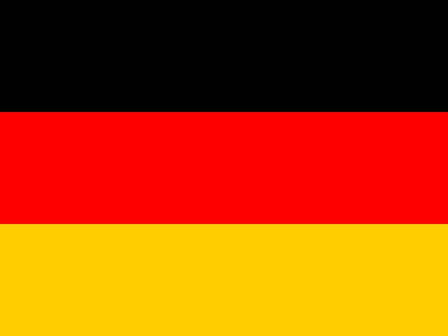

Dresden’s skyline gathers around the Elbe, a river that carries the story north past cities and industrial towns toward Hamburg and the North Sea. Along the way it crosses states with their own histories and governments. Germany lies in the middle of Europe, bordered by nine countries; Berlin is its capital, but the country has no single centre that can stand for all its parts. Ports, university towns, factories, villages and regional capitals give the map many points of gravity. Follow the routes between them and Germany comes into view as a federation held together by movement and shared institutions.[1][2][5][6]
That pattern is visible in the state itself. Germany is a federation of sixteen Länder, or constituent states, each with its own constitution, parliament and government. The national government handles matters that need common rules; the states have their own responsibilities and take part in federal decisions through the Bundesrat, where state governments are represented. Education, policing and cultural affairs are among the areas in which the Länder have important roles. A student changing states may encounter a different school calendar or curriculum; a law passed in Berlin can depend on state administrations to become ordinary practice. Local difference here is built into the political design.[3][4]
The federal map is not a tidy set of equal pieces. Berlin, Hamburg and Bremen are city-states; North Rhine-Westphalia contains the Ruhr, one of the country’s great industrial urban regions. Saxony, Thuringia and Brandenburg have their own histories and centres, while Hamburg and other northern coastal states look toward the North Sea and Baltic Sea. State borders mark real political layers: the Länder administer fields such as education, policing and culture, and their governments participate in federal lawmaking through the Bundesrat. For a visitor, crossing a state border may feel subtle; for the people who live there, it can change which institutions shape school, transport or public life.[2][21][37]
A country crossed by rivers and routes
Germany’s landscapes run from tidal flats and low plains in the north to the wooded central uplands and the Alps in the south. The Rhine cuts through western Germany toward the Netherlands; the Elbe links Saxony, Saxony-Anhalt and Hamburg before reaching the North Sea; the Danube begins in the Black Forest and flows east across the continent. Rivers have been working corridors: they carried timber, grain, coal, people and ideas, and their ports helped towns become trading centres. The Rhine is not just a line on a map but a chain of cities, vineyards, industries and bridges, each with its own relationship to the water.[5][6][7]
In the north, the land opens into broad agricultural plains and a coast cut by estuaries, islands and the shallow Wadden Sea. The Baltic shore is different: bays, lagoons and chalk cliffs make a more sheltered edge, while the islands of Rügen and Usedom face a shared sea with Denmark, Poland and Sweden. Farther south, the Harz, Thuringian Forest, Black Forest and Bavarian Alps interrupt the routes and give the country its varied horizons. The Alps are a small part of Germany’s total territory, but they influence its image abroad; many Germans live far from them, in landscapes of flat horizons, river valleys, forests or dense city streets.[8][9]

Those changes of terrain help explain why Germany is a country of short transitions. A journey can move from a harbour city to farmland, from a lowland river to a forested ridge, then into a basin where manufacturing and housing have grown close together. The landscape is not preserved outside human life: rivers have been straightened, forests managed, wetlands drained and coasts fortified. At the same time, floodplains, national parks and protected areas show the costs of treating land only as infrastructure. In the Elbe valley and along the North Sea coast, living with water means balancing shipping, settlements, habitats and rising flood risk.[10][11]
Germany’s central position has made movement both ordinary and politically charged. Its borders have shifted, its neighbours have changed, and trade routes have connected it to the continent’s north, south, east and west. Today, freight trains, motorways and river ports tie factories and farms to markets across Europe. At the same time, people cross the country for work, study and family, while many towns preserve a strong local character. A place can feel unmistakably German and still be shaped by a border only a short drive away.[12]
One language, many local voices
German gives public life a shared language, but it is not spoken in one uniform sound. Regional dialects and accents tell of local histories, and the everyday names for familiar things can change as a traveller moves from north to south. Standard German is useful across the country, yet local speech can signal familiarity, humour, intimacy or pride. In cities, multilingual life is part of the street: Turkish, Arabic, Polish, Russian, Ukrainian and many other languages are heard alongside German, reflecting several generations of migration and new arrivals.[13][14]
Some languages have long histories within Germany and are protected as minority or regional languages. Danish is spoken by a minority in Schleswig-Holstein; Frisian varieties are associated with communities along the North Sea; Sorbian is spoken in parts of Lusatia, across Saxony and Brandenburg; and Low German remains a regional language across the north. The map of these languages is not a set of sealed blocks. Speakers may live elsewhere, switch languages by setting, or have inherited a language they are working to relearn. Lusatia’s Sorbian communities, for example, have maintained a Slavic language and cultural life within a state whose public language is German.[15][16]
Germany’s recent history also left different vocabularies for everyday life. From 1949 to 1990, the Federal Republic and the German Democratic Republic developed under different political systems, and the Berlin Wall made that division physical. The peaceful protests of 1989, the opening of the border and reunification on 3 October 1990 brought the states together again. But a shared passport and national parliament did not make the experiences of the East and West identical. The institutions, workplaces and family histories built across four decades continued to shape opportunity, memory and expectations after the border disappeared.[17][18]

Reunification is often described through the images of crowds at the Wall. The longer story is less cinematic: changing factories, new administrations, people leaving some eastern towns for work, families staying, returning or moving in the other direction. Statistical comparisons still show differences in population and income between eastern and western states, though neither side is internally uniform and Berlin itself complicates the divide. These differences are not a verdict on either half of the country. They are evidence that political unity can arrive faster than economic and social convergence, and that the work of making a shared future carries on in particular places.[19][20]








Share what you know
Been there, grew up there, or know something we missed? Add a comment; corrections with a source are especially welcome.